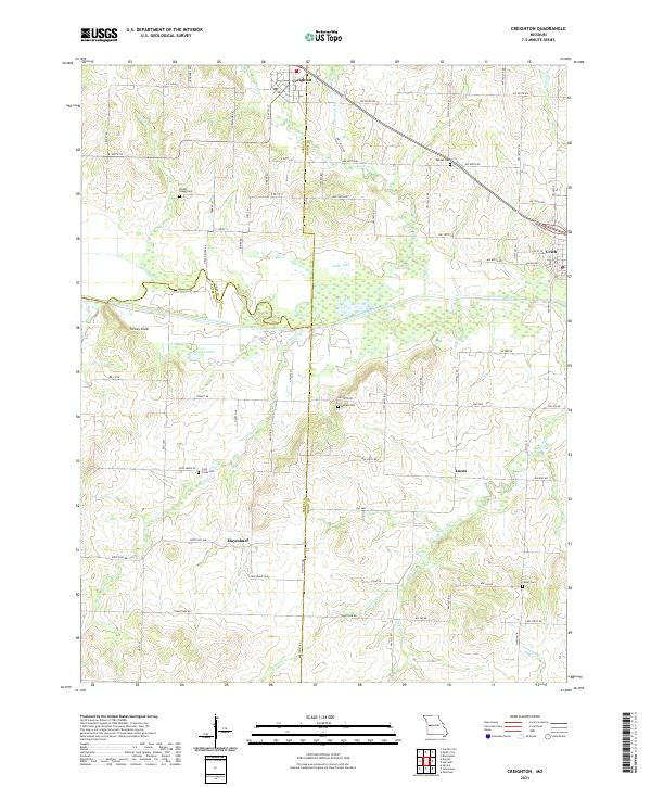
2021 Map of Creighton
USGS Topo · Published 2021About this map
The South Grand River meanders across this rural landscape where the borders of Cass, Henry, and Bates counties converge. The town of Creighton anchors the northern portion of the sheet, while the smaller community of Urich occupies the eastern edge. This area is characterized by its agricultural layout, punctuated by a dense network of country roads such as NW 800th Rd and NW Hwy B. Genealogists will find a high concentration of burial grounds throughout the countryside, including the Parker - Gregg Cem, Mullins Cem, and Fewel Cem. The terrain features the prominent Turkey Knob rising above the river valley, while numerous small waterways like Knob Cr and White Oak Cr drain the surrounding fields. The settlement pattern is defined by traditional farmstead locations and the small crossroads communities of Mayesburg and Lucas.
Find a feature on this map
83 named features on this map. Tap any name to fly to it.
Don’t see what you’re looking for? This feature index may not catch every label — zoom into the map to look around manually.
Map Details
Editions of this 2021 Creighton Map
This is the sole edition of this map. No revisions or reprints were ever made.
Other maps of this area

1885 · Warrensburg
USGS Topo · 1:125,000

1887 · Clinton
USGS Topo · 1:125,000

1887 · Harrisonville
USGS Topo · 1:125,000

1887 · Butler
USGS Topo · 1:125,000

1887 · Warrensburg
USGS Topo · 1:125,000

1892 · Harrisonville
USGS Topo · 1:125,000

1894 · Harrisonville
USGS Topo · 1:125,000

1894 · Butler
USGS Topo · 1:125,000

1894 · Warrensburg
USGS Topo · 1:125,000

1894 · Clinton
USGS Topo · 1:125,000