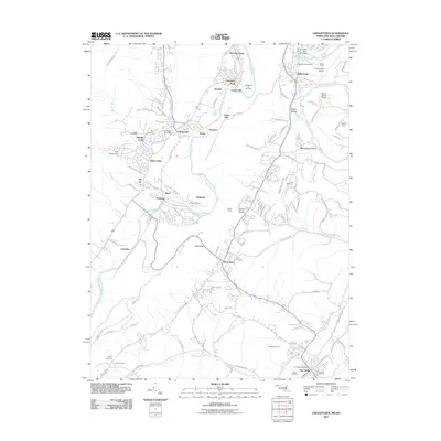
2011 Map of Cresaptown
USGS Topo · Published 2011About this map
The North Branch Potomac River serves as the focal point for this landscape along the Maryland and West Virginia border, where industrial transit and residential communities converge. Suburban and industrial clusters like Cresaptown and Wiley Ford are defined by their proximity to major infrastructure, including the Cumberland Airport and the B & O RR. The map captures a complex network of transportation and topography, featuring engineered solutions like the Welton Tunnel and Knobly Tunnel to navigate the local ridges. This modern survey is particularly useful for genealogical research, as it identifies numerous family-named burial sites such as the Lease Cemetery, Abe Cemetery, and Inkeep Cemetery. From the Cumberland Fair Grounds to the historic site of Fort Ashby, the map documents a region where river-valley commerce and longstanding community landmarks coexist.
Find a feature on this map
125 named features on this map. Tap any name to fly to it.
Don’t see what you’re looking for? This feature index may not catch every label — zoom into the map to look around manually.
Map Details
Editions of this 2011 Cresaptown Map
This is the sole edition of this map. No revisions or reprints were ever made.
Other maps of this area

1891 · Romney
USGS Topo · 1:125,000

1898 · Frostburg
USGS Topo · 1:62,500

1899 · Flintstone
USGS Topo · 1:62,500

1900 · Flintstone
USGS Topo · 1:62,500

1901 · Frostburg
USGS Topo · 1:62,500

1908 · Frostburg
USGS Topo · 1:62,500

1920 · Keyser
USGS Topo · 1:62,500

1921 · Keyser
USGS Topo · 1:48,000

1921 · Hanging Rock
USGS Topo · 1:48,000

1922 · Keyser
USGS Topo · 1:62,500