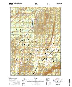
2020 Map of Crescent
USGS Topo · Published 2020About this map
Gilchrist and Crescent occupy the northern portion of this high-plateau corridor in Klamath County, where the Little Deschutes River and Crescent Cr create a localized wetland system among the timberlands. The landscape is defined by the transition between the Deschutes National Forest and the northern edge of the Winema National Forest, featuring prominent volcanic landmarks like Crescent Butte and the elevated Walker Rim to the southeast. Grounded in 2020 data, the map details the local infrastructure supporting these timber-industry settlements, including Bingham Park and the open grazing lands of Odell Pasture. In the far southeast, the secluded Boundary Spring feeds into the local hydrology, illustrating the complex water table of the Oregon Cascades east slope.
Find a feature on this map
18 named features on this map. Tap any name to fly to it.
Don’t see what you’re looking for? This feature index may not catch every label — zoom into the map to look around manually.
Map Details
Editions of this 2020 Crescent Map
This is the sole edition of this map. No revisions or reprints were ever made.
Other maps of this area
1930 · Maiden Peak
USGS Topo · 1:125,000
1934 · Maiden Peak
USGS Topo · 1:125,000
1935 · Chemult
USGS Topo · 1:96,000
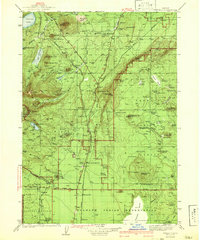
1941 · Chemult
USGS Topo · 1:125,000
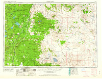
1955 · Crescent
USGS Topo · 1:250,000
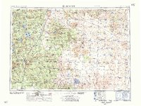
1957 · Crescent
USGS Topo · 1:250,000
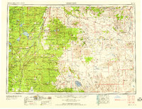
1958 · Crescent
USGS Topo · 1:250,000
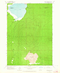
1963 · Hamner Butte
USGS Topo · 1:24,000
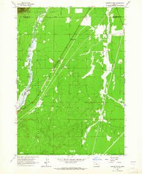
1963 · Masten Butte
USGS Topo · 1:24,000
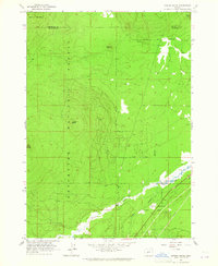
1963 · Cryder Butte
USGS Topo · 1:24,000