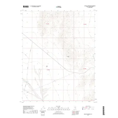
2018 Map of Crescent Reservoir
USGS Topo · Published 2018About this map
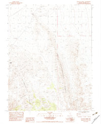
Tikaboo Valley defines the central topography of this Lincoln County landscape, bordered to the east by the rising elevations of the Pahranagat Range. The presence of the Crescent Reservoir in the southwestern corner provides a rare water source in this arid environment, acting as a focal point for the surrounding desert terrain. A network of utilitarian roads, including Mail Box Rd, Groom Rd, and Rock Springs Rd, suggests a landscape managed for transit or ranching access. The survey, produced by the U.S. Geological Survey using imagery from 2015, documents the precise Public Land Survey System boundaries, such as t6s r58e, which clarify the township and range organization across this section of Nevada.
Find a feature on this map
12 named features on this map. Tap any name to fly to it.
Don’t see what you’re looking for? This feature index may not catch every label — zoom into the map to look around manually.
Map Details
Editions of this 2018 Crescent Reservoir Map
This is the sole edition of this map. No revisions or reprints were ever made.
Other maps of this area

1942 · Emigrant Valley
USGS Topo · 1:125,000

1942 · Penoyer Valley
USGS Topo · 1:125,000

1945 · Alamo
USGS Topo · 1:125,000

1954 · Caliente
USGS Topo · 1:250,000

1959 · Caliente
USGS Topo · 1:250,000

1964 · Tempiute Mtn
USGS Topo · 1:62,500
1983 · Cutler Reservoir
USGS Topo · 1:24,000
1983 · Groom Range SE
USGS Topo · 1:24,000
1983 · Crescent Reservoir
USGS Topo · 1:24,000
1983 · Hancock Summit
USGS Topo · 1:24,000