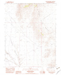
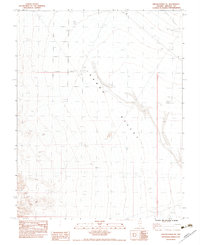
1983 Map of Crescent Reservoir
USGS Topo · Published 1983About this map
Tikaboo Valley dominates the western portion of this 1983 provisional survey, illustrating the arid drainage patterns of the high desert through a complex network of features labeled simply as Wash. To the east, the Mount Irish Range rises sharply, its steep contours contrasting with the broad alluvial flats below. Human impact on this remote Lincoln County landscape is sparse but deliberate, marked by a Single Pole Wooden Powerline that cuts a diagonal path across the terrain. The inclusion of a Corral near the Crescent Reservoir suggests the area's continued use for livestock or rangeland management, while a Borrow Pit in the northwest indicates localized material extraction for road maintenance or construction in this high-altitude basin.
Find a feature on this map
7 named features on this map. Tap any name to fly to it.
Don’t see what you’re looking for? This feature index may not catch every label — zoom into the map to look around manually.
Map Details
Editions of this 1983 Crescent Reservoir Map
This is the sole edition of this map. No revisions or reprints were ever made.
Other maps of this area

1942 · Emigrant Valley
USGS Topo · 1:125,000

1942 · Penoyer Valley
USGS Topo · 1:125,000

1945 · Alamo
USGS Topo · 1:125,000

1954 · Caliente
USGS Topo · 1:250,000

1959 · Caliente
USGS Topo · 1:250,000

1964 · Tempiute Mtn
USGS Topo · 1:62,500
1983 · Cutler Reservoir
USGS Topo · 1:24,000
1983 · Groom Range SE
USGS Topo · 1:24,000
1983 · Hancock Summit
USGS Topo · 1:24,000
1983 · Groom Range NE
USGS Topo · 1:24,000