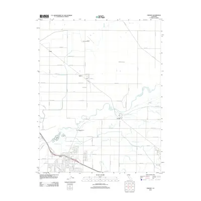
2012 Map of Cressey
USGS Topo · Published 2012About this map
The Merced River winds through this agricultural landscape in Merced County, anchoring a complex network of water management features including the Livingston Canal and several irrigation laterals like the Mcconnell Livingston Lateral and Wakefield Lateral. Small settlements such as Cortez, Ballico, and Cressey are situated among the orchards and fields, reflecting the rural character of the San Joaquin Valley. The presence of Veldhuis North Dairy and R V Dairy underscores the region's dairy industry, while the Turlock Municipal Airport serves as a northern waypoint. Local recreation and history are noted at Camp McConnell along the river, and the Winton Cem provides a site of genealogical interest near the southern margin. This survey illustrates the intricate balance between natural river flows and the extensive ditch systems like Cross Ditch Number Two used to sustain the surrounding farmland.
Find a feature on this map
105 named features on this map. Tap any name to fly to it.
Don’t see what you’re looking for? This feature index may not catch every label — zoom into the map to look around manually.
Map Details
Editions of this 2012 Cressey Map
This is the sole edition of this map. No revisions or reprints were ever made.
Other maps of this area

1913 · Dickenson
USGS Topo · 1:31,680

1916 · Three Tree Flat
USGS Topo · 1:31,680

1916 · Cressey
USGS Topo · 1:31,680

1916 · Montpellier
USGS Topo · 1:31,680

1916 · Denair
USGS Topo · 1:31,680

1917 · Turlock
USGS Topo · 1:31,680

1917 · Winton
USGS Topo · 1:31,680

1918 · Arena
USGS Topo · 1:31,680

1918 · Atwater
USGS Topo · 1:31,680

1918 · Stevinson
USGS Topo · 1:31,680