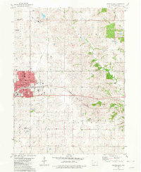
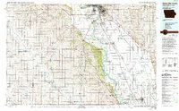
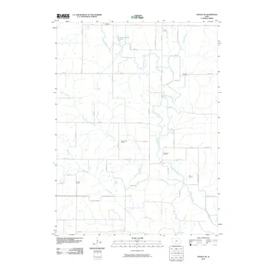
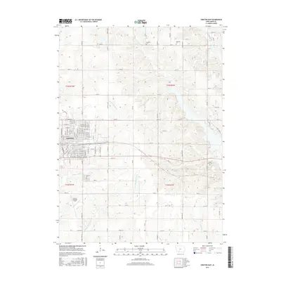
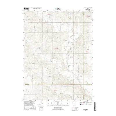
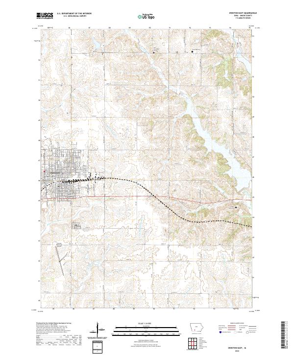
1980 Map of Creston East
USGS Topo · Published 1981About this map
The city of Creston anchors the western edge of this Union County landscape, serving as a hub where the Burlington Northern railroad corridor meets a dense network of civic and religious institutions. This 1980s-era record details the town's mature mid-century infrastructure, including the Creston Municipal Airport and several local schools such as Irving Sch and St Malachys Sch. Beyond the urban grid, the terrain transitions into the agricultural townships of Spaulding, Lincoln, and Douglas.
Find a feature on this map
39 named features on this map. Tap any name to fly to it.
Don’t see what you’re looking for? This feature index may not catch every label — zoom into the map to look around manually.
Map Details
Editions of this 1980 Creston East Map
This is the sole edition of this map. No revisions or reprints were ever made.
Historical Maps of Creston Through Time
25 maps found
1980 Creston East
Union County, IA
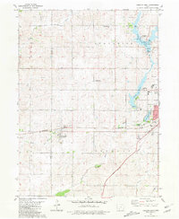
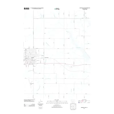
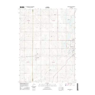
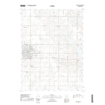
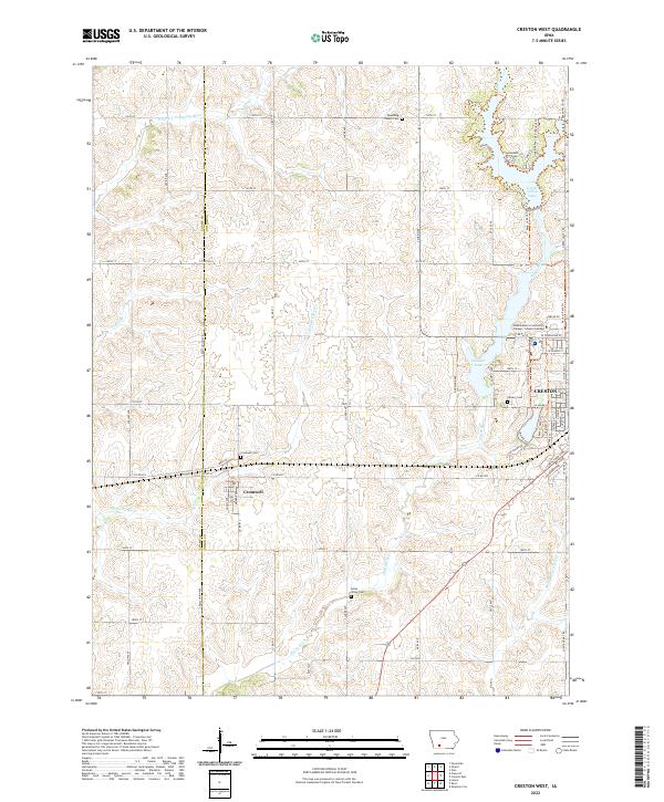
1981 Creston West
Union County, IA
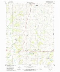
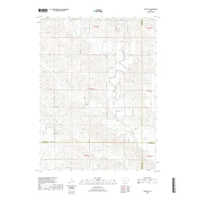
1981 Tingley NE
Union County, IA
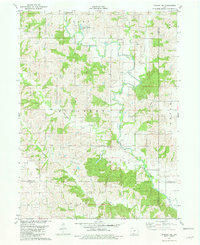
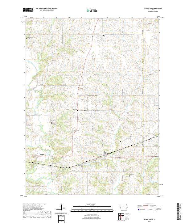
1983 Lorimor South
Union County, IA
1986 Sioux City South
Union County, IA
2010 Creston East
Union County, IA
2010 Creston West
Union County, IA
2010 Lorimor South
Union County, IA
2010 Tingley NE
Union County, IA
2013 Creston East
Union County, IA
2013 Creston West
Union County, IA
2013 Lorimor South
Union County, IA
2013 Tingley NE
Union County, IA
2015 Creston East
Union County, IA
2015 Creston West
Union County, IA
2015 Lorimor South
Union County, IA
2015 Tingley NE
Union County, IA
2018 Creston East
Union County, IA
2018 Creston West
Union County, IA
2018 Lorimor South
Union County, IA
2018 Tingley NE
Union County, IA
2022 Creston East
Union County, IA
2022 Creston West
Union County, IA
2022 Lorimor South
Union County, IA
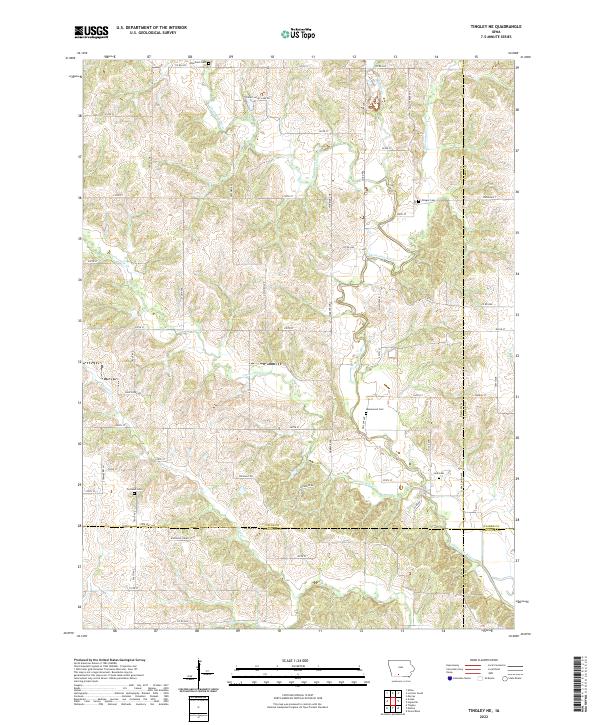
2022 Tingley NE
Union County, IA