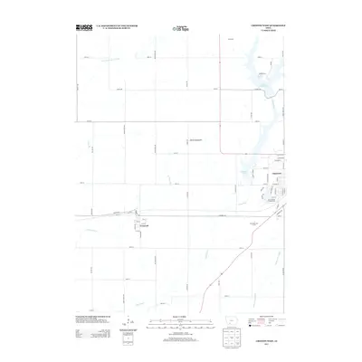
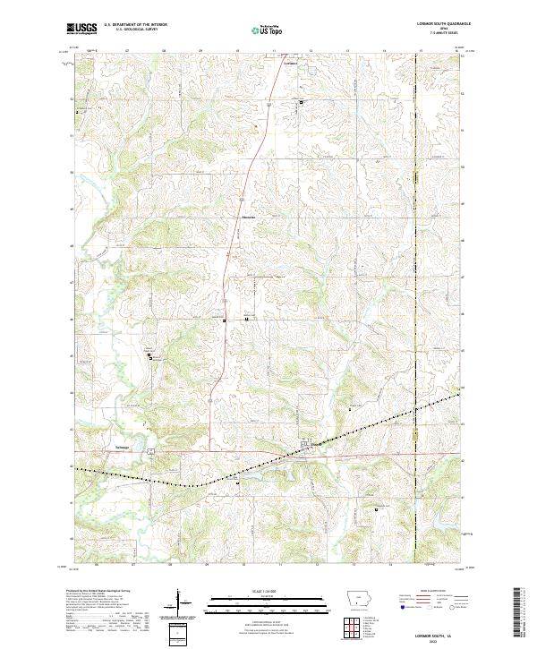
2022 Map of Creston West
USGS Topo · Published 2022About this map
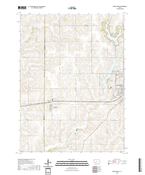
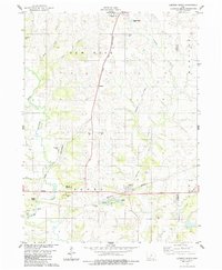
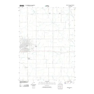
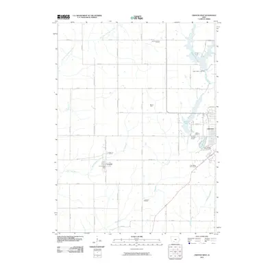
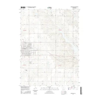
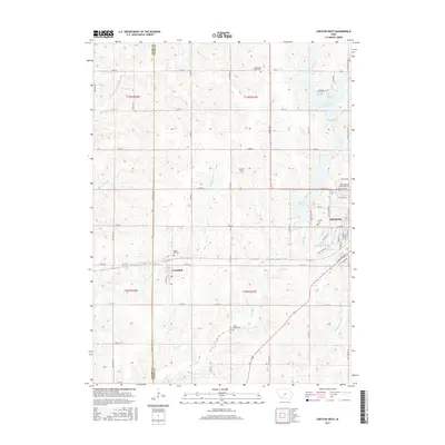
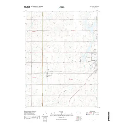
The Platte River and its various branches, including the Middle Platte River and W Platte River, carve through the agricultural landscape of western Union County. This 2022 survey illustrates the relationship between the rural settlement of Cromwell and the expanding western edge of Creston. The terrain is marked by essential community landmarks for genealogists, including Cromwell Cem, Lytles Grove Cem, and Spaulding Center Cem. Water management is a defining feature of the area, as seen in the presence of Green Valley Lake and Summit Lake, which sit north and west of the city center. The institutional footprint of the region is anchored by the Southwestern Community College - Creston Campus near the junction of 160th St and W Townline St. This map effectively documents the transition from open farmland to suburban development along the county line.
Find a feature on this map
65 named features on this map. Tap any name to fly to it.
Don’t see what you’re looking for? This feature index may not catch every label — zoom into the map to look around manually.
Map Details
Editions of this 2022 Creston West Map
This is the sole edition of this map. No revisions or reprints were ever made.
Historical Maps of Creston Through Time
25 maps found
1980 Creston East
Union County, IA
1981 Creston West
Union County, IA
1981 Tingley NE
Union County, IA
1983 Lorimor South
Union County, IA
1986 Sioux City South
Union County, IA
2010 Creston East
Union County, IA
2010 Creston West
Union County, IA
2010 Lorimor South
Union County, IA
2010 Tingley NE
Union County, IA
2013 Creston East
Union County, IA
2013 Creston West
Union County, IA
2013 Lorimor South
Union County, IA
2013 Tingley NE
Union County, IA
2015 Creston East
Union County, IA
2015 Creston West
Union County, IA
2015 Lorimor South
Union County, IA
2015 Tingley NE
Union County, IA
2018 Creston East
Union County, IA
2018 Creston West
Union County, IA
2018 Lorimor South
Union County, IA
2018 Tingley NE
Union County, IA
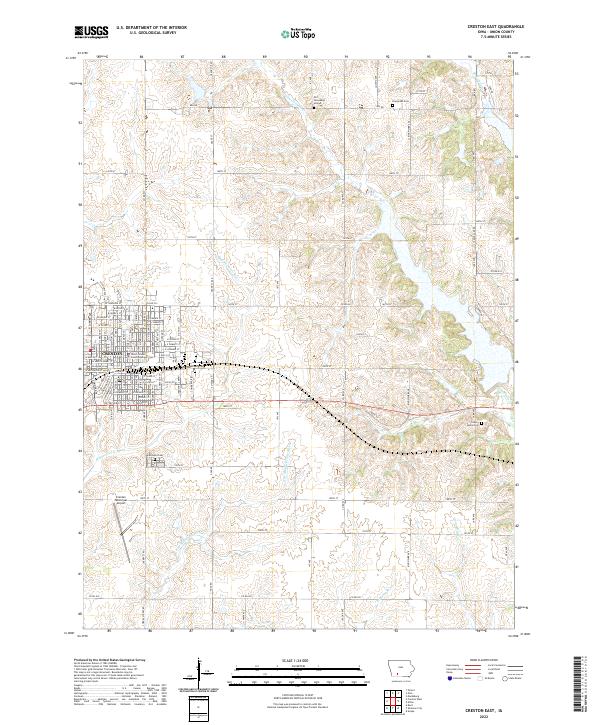
2022 Creston East
Union County, IA
2022 Creston West
Union County, IA
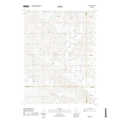
2022 Lorimor South
Union County, IA
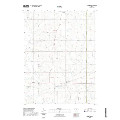
2022 Tingley NE
Union County, IA