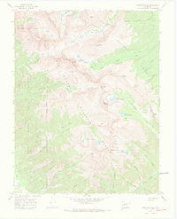
1967 Map of Crestone Peak
USGS Topo · Published 1971About this map
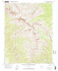
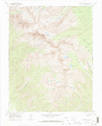
The Sangre de Cristo Range defines this landscape, where the high summits of Crestone Peak and Crestone Needle rise along the boundary between the San Isabel National Forest and Rio Grande National Forest. This 1967 field-checked survey highlights a terrain dominated by alpine lakes and glacial cirques, including Willow Creek Lakes and the South Colony Lakes. To the west, the map details the eastern edge of the Baca Grant No 4, an area marked by steep canyons like Cedar Canyon and old mines near Milwaukee Hill. A network of historic pack routes, such as the Rainbow Trail (Pack) and Music Pass Trail (Pack), provides evidence of the era's primary access points into these high-altitude basins before the expansion of modern road systems. The presence of isolated mines suggests the persistent legacy of prospecting in the mineral-rich gulches of Copper Gulch and Cleveland Gulch.
Find a feature on this map
57 named features on this map. Tap any name to fly to it.
Don’t see what you’re looking for? This feature index may not catch every label — zoom into the map to look around manually.
Map Details
Editions of this 1967 Crestone Peak Map
6 editions found
Other maps of this area

1889 · Canon City
USGS Topo · 1:125,000

1889 · Huerfano Park
USGS Topo · 1:125,000

1892 · Huerfano Park
USGS Topo · 1:125,000

1892 · Canon City
USGS Topo · 1:125,000

1954 · Trinidad
USGS Topo · 1:250,000

1954 · Pueblo
USGS Topo · 1:250,000

1955 · Trinidad
USGS Topo · 1:250,000

1957 · Pueblo
USGS Topo · 1:250,000

1957 · Aldrich Gulch
USGS Topo · 1:24,000

1958 · Trinidad
USGS Topo · 1:250,000