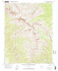
1967 Map of Crestone Peak
USGS Topo · Published 1987About this map
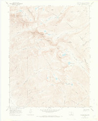
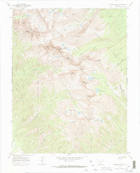
Crestone Peak and the neighboring Crestone Needle anchor this high-altitude survey of the Sangre de Cristo Range, where the terrain transitions sharply from the deep canyons of the Luis Maria Baca No 4 grant to the glaciated basins of the San Isabel National Forest. The map documents a primitive network of pack trails and jeep roads that served late 19th-century interests, including several unnamed mines clustered near Alpine Creek and Spanish Creek.
Find a feature on this map
68 named features on this map. Tap any name to fly to it.
Don’t see what you’re looking for? This feature index may not catch every label — zoom into the map to look around manually.
Map Details
Editions of this 1967 Crestone Peak Map
6 editions found
Other maps of this area

1889 · Canon City
USGS Topo · 1:125,000

1889 · Huerfano Park
USGS Topo · 1:125,000

1892 · Huerfano Park
USGS Topo · 1:125,000

1892 · Canon City
USGS Topo · 1:125,000

1954 · Trinidad
USGS Topo · 1:250,000

1954 · Pueblo
USGS Topo · 1:250,000

1955 · Trinidad
USGS Topo · 1:250,000

1957 · Pueblo
USGS Topo · 1:250,000

1957 · Aldrich Gulch
USGS Topo · 1:24,000

1958 · Trinidad
USGS Topo · 1:250,000