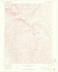
1967 Map of Crestone Peak
USGS Topo · Published 1971About this map
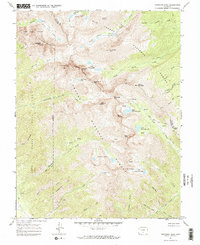
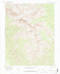
Luis Maria Baca Grant No 4 defines the western edge of this 1960s survey, marking a distinct cadastral boundary against the high peaks of the Sangre de Cristo Range. The landscape is dominated by extreme elevations, centering on the formidable Crestone Peak and its neighbor Crestone Needle. This area serves as a significant drainage divide between the Rio Grande National Forest and San Isabel National Forest, where water flows from high alpine sources like Upper Sand Creek Lake and Deadman Lakes. Navigation through this vertical terrain was limited to a network of established paths such as the Colony Creek Pack Trail and the Music Pass Trail. A isolated Mine near Broken Hand Peak points to small-scale mineral prospecting high above the timberline, while features like Music Pass provide the primary transit points across the rugged crest of the range.
Find a feature on this map
54 named features on this map. Tap any name to fly to it.
Don’t see what you’re looking for? This feature index may not catch every label — zoom into the map to look around manually.
Map Details
Editions of this 1967 Crestone Peak Map
6 editions found
Other maps of this area

1889 · Canon City
USGS Topo · 1:125,000

1889 · Huerfano Park
USGS Topo · 1:125,000

1892 · Huerfano Park
USGS Topo · 1:125,000

1892 · Canon City
USGS Topo · 1:125,000

1954 · Trinidad
USGS Topo · 1:250,000

1954 · Pueblo
USGS Topo · 1:250,000

1955 · Trinidad
USGS Topo · 1:250,000

1957 · Pueblo
USGS Topo · 1:250,000

1957 · Aldrich Gulch
USGS Topo · 1:24,000

1958 · Trinidad
USGS Topo · 1:250,000