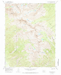
1967 Map of Crestone Peak
USGS Topo · Published 1973About this map
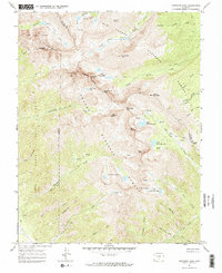
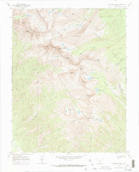
San Isabel National Forest and Rio Grande National Forest converge at the crest of the Sangre de Cristo Range, where some of Colorado's most formidable summits dominate the landscape. The high-altitude terrain is defined by jagged peaks such as Crestone Peak and Crestone Needle, alongside the massif of Kit Carson Mountain and its prominent Challenger Point. The map details a network of alpine basins containing the North Colony Lakes and Macey Lakes, which feed the drainages of Willow Creek and Cottonwood Creek. A notable boundary for the Baca land grant, marked as Grant Boundary (Indefinite), runs through the western canyons like Maria Canyon. The survey also identifies several unnamed Mines and Mines, particularly near Milwaukee Hill, hinting at the mineral exploration that often accompanied high-country surveying in the mid-20th century.
Find a feature on this map
63 named features on this map. Tap any name to fly to it.
Don’t see what you’re looking for? This feature index may not catch every label — zoom into the map to look around manually.
Map Details
Editions of this 1967 Crestone Peak Map
6 editions found
Other maps of this area

1889 · Canon City
USGS Topo · 1:125,000

1889 · Huerfano Park
USGS Topo · 1:125,000

1892 · Huerfano Park
USGS Topo · 1:125,000

1892 · Canon City
USGS Topo · 1:125,000

1954 · Trinidad
USGS Topo · 1:250,000

1954 · Pueblo
USGS Topo · 1:250,000

1955 · Trinidad
USGS Topo · 1:250,000

1957 · Pueblo
USGS Topo · 1:250,000

1957 · Aldrich Gulch
USGS Topo · 1:24,000

1958 · Trinidad
USGS Topo · 1:250,000