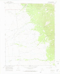
1967 Map of Crestone
USGS Topo · Published 1970About this map
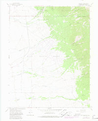
Crestone sits at the foot of the Sangre de Cristo Range, where the high desert floor meets the steep rise of the Rio Grande National Forest. The landscape is defined by the rigid Grant Boundary of the Luis Maria Baca No 4, a massive Mexican land grant that occupies the southern portion of the sheet. This boundary separates the open valley from the mountain front, where numerous Mines and Prospects suggest a legacy of mineral exploration in canyons like Copper Gulch and Cedar Spring Canyon.
Find a feature on this map
30 named features on this map. Tap any name to fly to it.
Don’t see what you’re looking for? This feature index may not catch every label — zoom into the map to look around manually.
Map Details
Editions of this 1967 Crestone Map
6 editions found
Other maps of this area

1954 · Trinidad
USGS Topo · 1:250,000

1954 · Pueblo
USGS Topo · 1:250,000

1955 · Trinidad
USGS Topo · 1:250,000

1957 · Pueblo
USGS Topo · 1:250,000

1958 · Trinidad
USGS Topo · 1:250,000

1958 · Pueblo
USGS Topo · 1:250,000

1959 · Trinidad
USGS Topo · 1:250,000

1959 · Electric Peak
USGS Topo · 1:62,500
1959 · Horn Peak
USGS Topo · 1:24,000

1962 · Pueblo
USGS Topo · 1:250,000