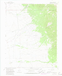
1967 Map of Crestone
USGS Topo · Published 1982About this map
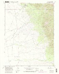
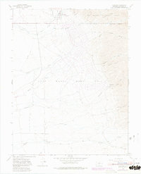
The high mountain settlement of Crestone serves as the focal point for this survey, situated at the base of the Sangre de Cristo Mountains. The map illustrates a complex landscape of water management and resource extraction, defined by an extensive network of creeks including North Crestone Creek, South Crestone Creek, and Willow Creek. Local history is anchored by the Cem and Teton Cem, while the industrial past of the region is evidenced by an Old Railroad Grade and several Mines and Prospects scattered throughout the drainage basins.
Find a feature on this map
34 named features on this map. Tap any name to fly to it.
Don’t see what you’re looking for? This feature index may not catch every label — zoom into the map to look around manually.
Map Details
Editions of this 1967 Crestone Map
6 editions found
Other maps of this area

1954 · Trinidad
USGS Topo · 1:250,000

1954 · Pueblo
USGS Topo · 1:250,000

1955 · Trinidad
USGS Topo · 1:250,000

1957 · Pueblo
USGS Topo · 1:250,000

1958 · Trinidad
USGS Topo · 1:250,000

1958 · Pueblo
USGS Topo · 1:250,000

1959 · Trinidad
USGS Topo · 1:250,000

1959 · Electric Peak
USGS Topo · 1:62,500
1959 · Horn Peak
USGS Topo · 1:24,000

1962 · Pueblo
USGS Topo · 1:250,000