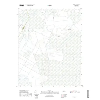
2019 Map of Creswell SE
USGS Topo · Published 2019About this map
New Lands sits at the heart of this coastal North Carolina landscape, where Tyrrell and Washington counties meet among a complex network of man-made waterways and natural wetlands. The presence of the Scuppernong River in the northwest is supplemented by an extensive system of drainage channels, including the Thirty-Foot Canal, Old Canal, and Bonarva Canal, which highlight the region's long history of land reclamation and agricultural development. The terrain is characterized by the expansive Hollow Ground Swamp, which dominates the southeast, and the subtle rise of Ballast Bank to the north.
Find a feature on this map
23 named features on this map. Tap any name to fly to it.
Don’t see what you’re looking for? This feature index may not catch every label — zoom into the map to look around manually.
Map Details
Editions of this 2019 Creswell SE Map
This is the sole edition of this map. No revisions or reprints were ever made.
Other maps of this area

1943 · Columbia
USGS Topo · 1:125,000

1953 · Columbia East
USGS Topo · 1:24,000

1953 · Scotia
USGS Topo · 1:24,000

1953 · Columbia West
USGS Topo · 1:24,000

1953 · Fairfield NW
USGS Topo · 1:24,000

1953 · Rocky Mount
USGS Topo · 1:250,000

1954 · Rocky Mount
USGS Topo · 1:250,000
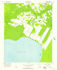
1954 · Creswell
USGS Topo · 1:24,000
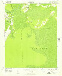
1954 · Creswell SE
USGS Topo · 1:24,000
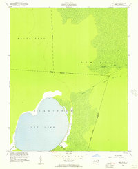
1954 · New Lake
USGS Topo · 1:24,000