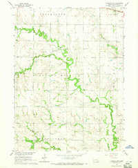
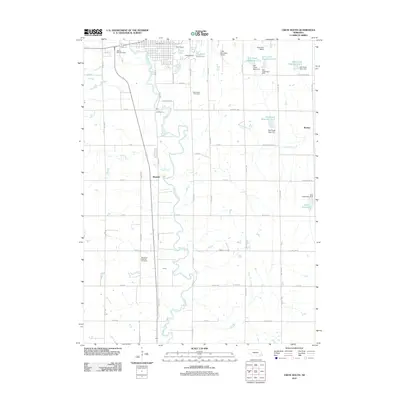
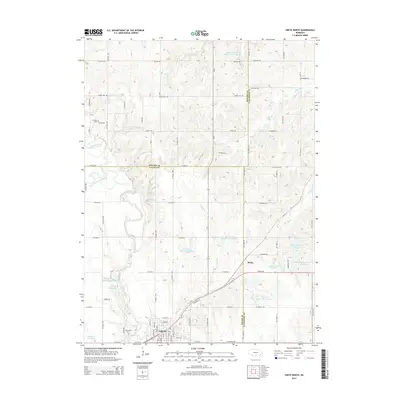
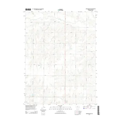
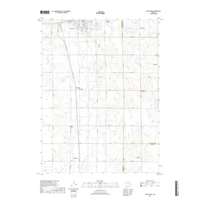
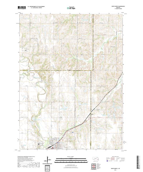
1964 Map of Crete North
USGS Topo · Published 1973About this map
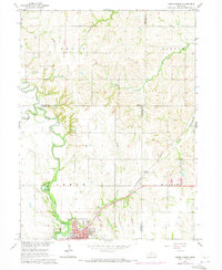
The Big Blue River and its confluence with the West Fork dominate this mid-century landscape in Saline County. The city of Crete anchors the southern portion of the sheet, showing the organized grid of the town center alongside Tuxedo Park and Riverside Cem. In the surrounding rural townships of Highland and Crete, the map details a network of country roads and agricultural sections, punctuated by local education sites like Valley View Sch and St James Sch.
Find a feature on this map
22 named features on this map. Tap any name to fly to it.
Don’t see what you’re looking for? This feature index may not catch every label — zoom into the map to look around manually.
Map Details
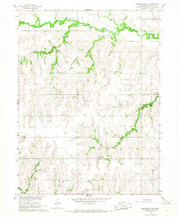
Editions of this 1964 Crete North Map
2 editions found
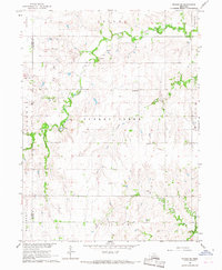
Historical Maps of Crete Through Time
30 maps found
1964 Crete North
Saline County, NE
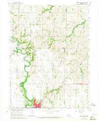
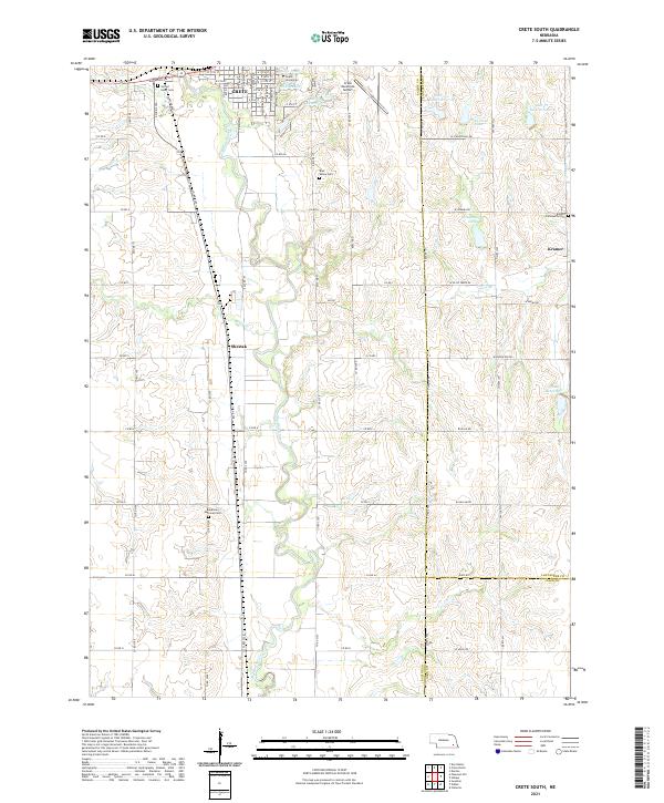
1964 Crete South
Saline County, NE
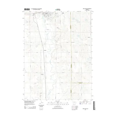
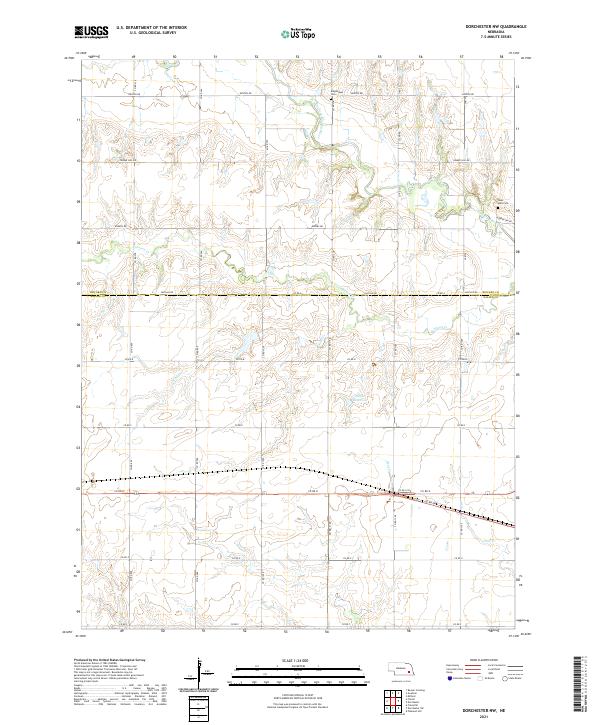
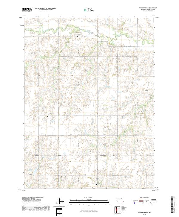
1964 Dorchester NW
Saline County, NE
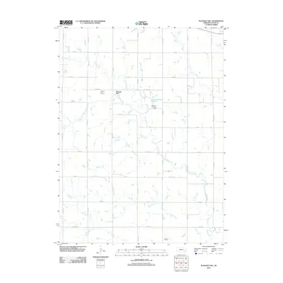
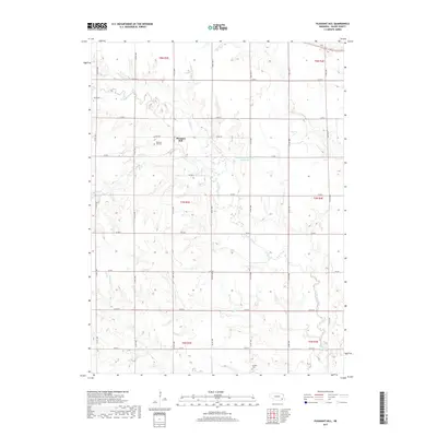
1964 Pleasant Hill
Saline County, NE
1966 Dorchester SW
Saline County, NE
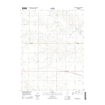
1966 Friend SE
Saline County, NE
2011 Crete North
Saline County, NE
2011 Crete South
Saline County, NE
2011 Dorchester NW
Saline County, NE
2011 Dorchester SW
Saline County, NE
2011 Friend SE
Saline County, NE
2011 Pleasant Hill
Saline County, NE
2014 Crete North
Saline County, NE
2014 Crete South
Saline County, NE
2014 Dorchester NW
Saline County, NE
2014 Dorchester SW
Saline County, NE
2014 Friend SE
Saline County, NE
2014 Pleasant Hill
Saline County, NE
2017 Crete North
Saline County, NE
2017 Crete South
Saline County, NE
2017 Dorchester NW
Saline County, NE
2017 Dorchester SW
Saline County, NE
2017 Friend SE
Saline County, NE
2017 Pleasant Hill
Saline County, NE
2021 Crete North
Saline County, NE
2021 Crete South
Saline County, NE
2021 Dorchester NW
Saline County, NE
2021 Dorchester SW
Saline County, NE
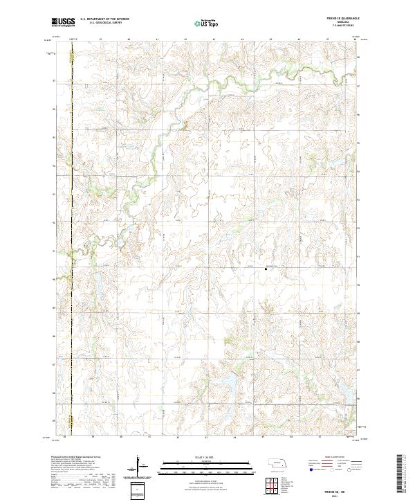
2021 Friend SE
Saline County, NE
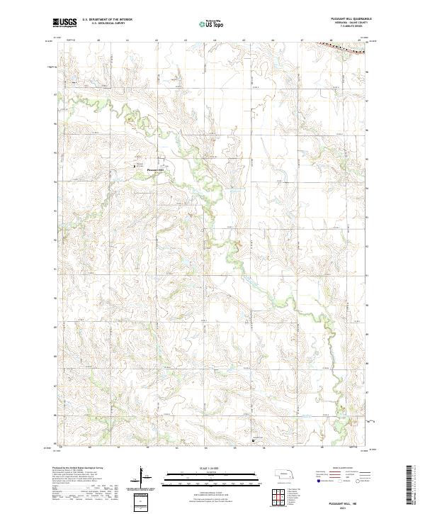
2021 Pleasant Hill
Saline County, NE