
1952 Map of Crete
USGS Topo · Published 1954About this map
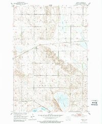
The Northern Pacific railroad cuts a diagonal path through the northern plains of Sargent County, anchoring the small settlement of Crete in this early 1950s survey. To the south, the Minneapolis St. Paul and Sault Ste Marie line runs near Hample, illustrating the heavy reliance on rail transport for this agricultural region. The landscape is defined by its drainage patterns, with the wide depression of Bruns Slough and the waters of Lake Taayer and Dirt Slough punctuating the prairie.
Find a feature on this map
16 named features on this map. Tap any name to fly to it.
Don’t see what you’re looking for? This feature index may not catch every label — zoom into the map to look around manually.
Map Details
Editions of this 1952 Crete Map
2 editions found
Other maps of this area

1894 · Oakes
USGS Topo · 1:62,500

1895 · Lamoure
USGS Topo · 1:125,000

1918 · La Moure
USGS Topo · 1:125,000

1952 · Oakes
USGS Topo · 1:24,000

1953 · Jamestown
USGS Topo · 1:250,000

1953 · Fargo
USGS Topo · 1:250,000
1955 · Oakes SE
USGS Topo · 1:24,000

1956 · Fargo
USGS Topo · 1:250,000

1956 · Jamestown
USGS Topo · 1:250,000
1956 · Straubville
USGS Topo · 1:24,000