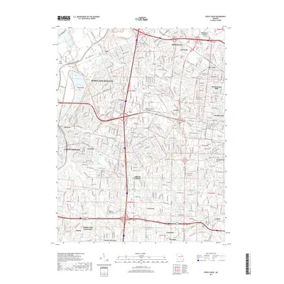
2017 Map of Creve Coeur
USGS Topo · Published 2017About this map
Maryland Heights and the surrounding suburban expansion of Saint Louis County are documented here in 2017, showing a dense network of residential streets and major thoroughfares. The landscape is defined by the significant presence of institutional sites and burial grounds, including the large Mount Lebanon Cem near Bridgeton Terrace and the Fee Fee Cem in Bridgeton. The map provides a detailed view of the regional education landscape, noting the Missouri Baptist University Main Campus and specialized institutions like the Chamberlain College of Nursing.
Find a feature on this map
57 named features on this map. Tap any name to fly to it.
Don’t see what you’re looking for? This feature index may not catch every label — zoom into the map to look around manually.
Map Details
Editions of this 2017 Creve Coeur Map
This is the sole edition of this map. No revisions or reprints were ever made.
Other maps of this area

1903 · O'Fallon
USGS Topo · 1:125,000

1924 · Robertson
USGS Topo · 1:24,000

1927 · St. Charles
USGS Topo · 1:62,500

1931 · Manchester SE
USGS Topo · 1:24,000

1931 · Brussels
USGS Topo · 1:62,500

1932 · Manchester NE
USGS Topo · 1:24,000

1933 · Creve Coeur
USGS Topo · 1:24,000

1933 · Jefferson Barracks
USGS Topo · 1:24,000

1933 · Clayton
USGS Topo · 1:24,000

1933 · Saint Charles
USGS Topo · 1:62,500