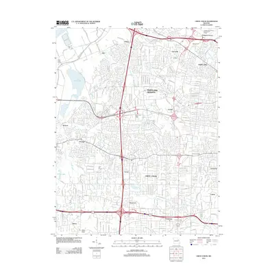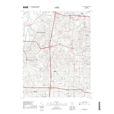
2021 Map of Creve Coeur
USGS Topo · Published 2021About this map
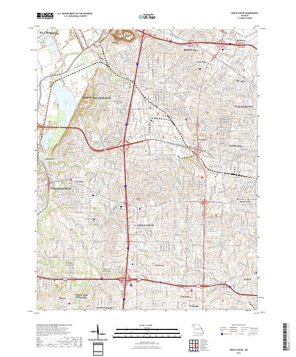
Creve Coeur Lake and its surrounding parkland anchor this 2021 landscape, illustrating the suburban evolution of the St. Louis metropolitan area. This map reveals a complex network of residential developments and institutional hubs, from the Missouri Baptist University Main Campus to the Covenant Theological Seminary. The area's deep-rooted history is visible in its numerous burial grounds, including the historic Fee Fee Cem and The Abbey of Saint Mary and Saint Louis Cem. Local geography is defined by a dense web of suburban municipalities like Maryland Heights, Chesterfield, and Creve Coeur, all woven together by major arteries such as Olive Blvd and Ladue Rd. Waterways like Creve Coeur Creek and Fee Fee Cr cut through the modern street grids, providing a physical link to the region's natural drainage patterns.
Find a feature on this map
313 named features on this map. Tap any name to fly to it.
Don’t see what you’re looking for? This feature index may not catch every label — zoom into the map to look around manually.
Map Details
Editions of this 2021 Creve Coeur Map
This is the sole edition of this map. No revisions or reprints were ever made.
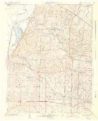
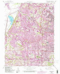
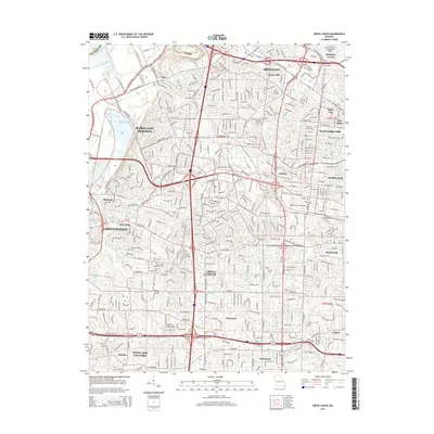
Historical Maps of Chesterfield Through Time
7 maps found