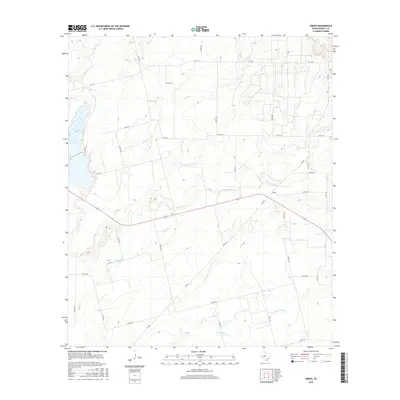
2016 Map of Crews
USGS Topo · Published 2016About this map
Lake Winters anchors the northwestern corner of this landscape in Runnels County, serving as a primary water source and geographical landmark. The surrounding terrain is defined by an intricate network of seasonal drainage and creeks, including Elm Cr and the winding course of Gap Cr. The small community of Crews sits at a strategic junction of secondary roads, representing the rural settlement pattern typical of this part of West Texas. The map illustrates a highly developed system of county roads and farm-to-market routes like FM 382 and FM 1770, which facilitate movement across the agricultural lands. Waterways such as Mud Cr and its S Fork Mud Cr carve through the southern portion of the quadrangle, while smaller tributaries like Eagle Br and Long Br trace the local topography, indicating the natural flow towards larger regional basins.
Find a feature on this map
38 named features on this map. Tap any name to fly to it.
Don’t see what you’re looking for? This feature index may not catch every label — zoom into the map to look around manually.
Map Details
Editions of this 2016 Crews Map
This is the sole edition of this map. No revisions or reprints were ever made.
Other maps of this area
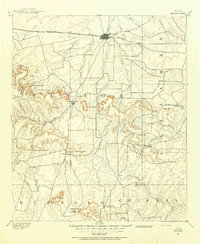
1890 · Abilene
USGS Topo · 1:125,000
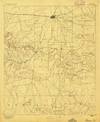
1892 · Abilene
USGS Topo · 1:125,000
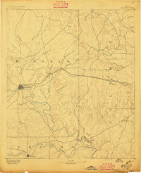
1892 · Ballinger
USGS Topo · 1:125,000
1921 · Hatchel
USGS Topo · 1:31,680

1954 · Brownwood
USGS Topo · 1:250,000

1954 · Abilene
USGS Topo · 1:250,000

1958 · Abilene
USGS Topo · 1:250,000
1967 · Hatchel
USGS Topo · 1:24,000
1967 · Talpa
USGS Topo · 1:24,000
1967 · Novice West
USGS Topo · 1:24,000