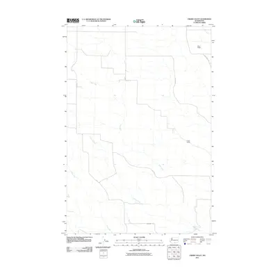
2011 Map of Crider Valley
USGS Topo · Published 2011About this map
Crider Valley and the elevated formation of Sand Ridge define this corner of Klickitat County, where a network of rural drainage systems and early 21st-century roadways mark the high desert landscape. The terrain is deeply inscribed by seasonal waterways including Sixprong Creek, Willow Creek, and Alder Creek, which dictate the placement of local infrastructure. A sparse grid of named roads, such as Alder Creek Rd, Matsen Rd, and Crider Valley Rd, connects the plateaus and draws, reflecting a land primarily used for wide-ranging agricultural or pastoral purposes. This survey provides a precise look at the drainage patterns and property access routes that characterize the region just after the turn of the millennium.
Find a feature on this map
13 named features on this map. Tap any name to fly to it.
Don’t see what you’re looking for? This feature index may not catch every label — zoom into the map to look around manually.
Map Details
Editions of this 2011 Crider Valley Map
This is the sole edition of this map. No revisions or reprints were ever made.
Other maps of this area

1910 · Zillah
USGS Topo · 1:125,000

1916 · Arlington
USGS Topo · 1:125,000

1950 · Yakima
USGS Topo · 1:250,000

1953 · The Dalles
USGS Topo · 1:250,000

1956 · The Dalles
USGS Topo · 1:250,000

1957 · The Dalles
USGS Topo · 1:250,000

1958 · Yakima
USGS Topo · 1:250,000

1961 · Yakima
USGS Topo · 1:250,000
1962 · Douty Canyon
USGS Topo · 1:24,000

1962 · Heppner Junction
USGS Topo · 1:24,000