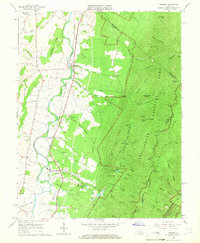
1965 Map of Crimora
USGS Topo · Published 1966About this map
Crimora Mine sits at the base of the Blue Ridge, anchoring a landscape where industrial extraction meets the protected wilderness of Shenandoah National Park. This mid-1960s survey by the U.S. Geological Survey and the Division of Mineral Resources details the transition from the agricultural Shenandoah Valley to the rising peaks of the Blue Ridge. The Norfolk and Western railroad runs parallel to the South River, connecting the settlements of Harriston, Crimora, and Madrid. Along this corridor, a dense network of local landmarks includes Morning Star Ch and Mt Bethel Cem, reflecting deep-rooted community ties.
Find a feature on this map
72 named features on this map. Tap any name to fly to it.
Don’t see what you’re looking for? This feature index may not catch every label — zoom into the map to look around manually.
Map Details
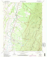
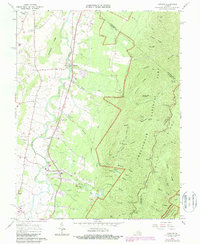
Editions of this 1965 Crimora Map
3 editions found
Other maps of this area

1892 · Harrisonburg
USGS Topo · 1:125,000

1931 · University
USGS Topo · 1:62,500

1934 · Waynesboro
USGS Topo · 1:48,000

1935 · University
USGS Topo · 1:62,500

1937 · Elkton
USGS Topo · 1:62,500

1939 · Waynesboro
USGS Topo · 1:62,500

1941 · Harrisonburg
USGS Topo · 1:62,500

1943 · Harrisonburg
USGS Topo · 1:62,500

1949 · Charlottesville
USGS Topo · 1:250,000

1956 · Charlottesville
USGS Topo · 1:250,000