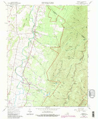
1965 Map of Crimora
USGS Topo · Published 1987About this map
South River flows northward through the valley corridor of this survey, defining the industrial and agricultural landscape of eastern Augusta County. The Norfolk and Western rail line parallels the river, anchoring the settlements of Crimora, Harriston, and Sampson. Historical community life is centered around rural congregations such as Mt Horeb Ch, Pleasant Hill Ch, and Morning Star Ch.
Find a feature on this map
65 named features on this map. Tap any name to fly to it.
Don’t see what you’re looking for? This feature index may not catch every label — zoom into the map to look around manually.
Map Details
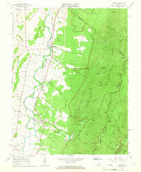
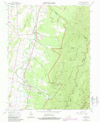
Editions of this 1965 Crimora Map
3 editions found
Other maps of this area

1892 · Harrisonburg
USGS Topo · 1:125,000

1931 · University
USGS Topo · 1:62,500

1934 · Waynesboro
USGS Topo · 1:48,000

1935 · University
USGS Topo · 1:62,500

1937 · Elkton
USGS Topo · 1:62,500

1939 · Waynesboro
USGS Topo · 1:62,500

1941 · Harrisonburg
USGS Topo · 1:62,500

1943 · Harrisonburg
USGS Topo · 1:62,500

1949 · Charlottesville
USGS Topo · 1:250,000

1956 · Charlottesville
USGS Topo · 1:250,000