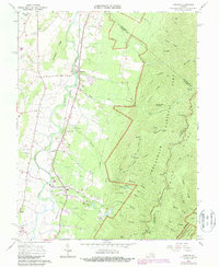
1965 Map of Crimora
USGS Topo · Published 1987About this map
The South River valley serves as a bustling corridor of transportation and small-town industry in this 1965 survey, updated for the 1980s. The Norfolk and Western Railway parallels the river, connecting the settlements of Harriston, Crimora, and Madrid. Evidence of the area's extraction history is visible through a mine and Crimora Lake, while the western slopes of the Blue Ridge mountains dominate the eastern half of the map.
Find a feature on this map
55 named features on this map. Tap any name to fly to it.
Don’t see what you’re looking for? This feature index may not catch every label — zoom into the map to look around manually.
Map Details
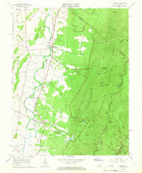
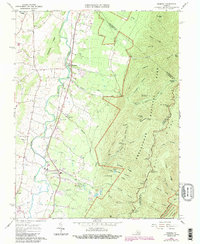
Editions of this 1965 Crimora Map
3 editions found
Other maps of this area

1892 · Harrisonburg
USGS Topo · 1:125,000

1931 · University
USGS Topo · 1:62,500

1934 · Waynesboro
USGS Topo · 1:48,000

1935 · University
USGS Topo · 1:62,500

1937 · Elkton
USGS Topo · 1:62,500

1939 · Waynesboro
USGS Topo · 1:62,500

1941 · Harrisonburg
USGS Topo · 1:62,500

1943 · Harrisonburg
USGS Topo · 1:62,500

1949 · Charlottesville
USGS Topo · 1:250,000

1956 · Charlottesville
USGS Topo · 1:250,000