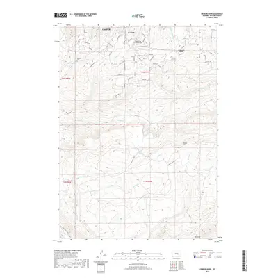
2017 Map of Crimson Dawn
USGS Topo · Published 2017About this map
Casper Mountain County Park serves as a central landmark for this high-altitude landscape south of Casper. The map reveals a complex network of residential mountain roads and trails, including the Natrona Trail, that wind through the elevated terrain between Garden Creek and Elkhorn Creek. Local history and genealogy are anchored by specific burial sites like Eadsville Cem and Crimson Dawn Cem, which sit near the settlement of Crimson Dawn. This 2017 study illustrates the modern interface of mountain living and public land, with numerous named springs and seasonal drainages like Asbestos Spring and Pitchpine Creek feeding into larger systems like Big Red Creek. To the south, the terrain rises toward Muddy Mountain and Rocky Gap, marking the transition into the more sparsely developed reaches of the county.
Find a feature on this map
72 named features on this map. Tap any name to fly to it.
Don’t see what you’re looking for? This feature index may not catch every label — zoom into the map to look around manually.
Map Details
Editions of this 2017 Crimson Dawn Map
This is the sole edition of this map. No revisions or reprints were ever made.
Other maps of this area

1949 · Brookhurst
USGS Topo · 1:24,000

1950 · Brookhurst
USGS Topo · 1:24,000

1950 · Goose Egg
USGS Topo · 1:24,000

1951 · Casper
USGS Topo · 1:24,000

1955 · Casper
USGS Topo · 1:250,000

1958 · Casper
USGS Topo · 1:250,000

1960 · Twin Buttes
USGS Topo · 1:24,000

1960 · Crimson Dawn
USGS Topo · 1:24,000

1960 · Sheep Creek
USGS Topo · 1:24,000

1960 · Ice Cave Mountain
USGS Topo · 1:24,000