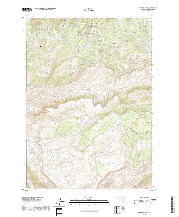
2021 Map of Crimson Dawn
USGS Topo · Published 2021About this map
Casper Mountain dominates the northern horizon of this landscape, rising above the sprawling drainage networks of Elkhorn Cr and the Clear Fork Muddy Cr. The mountain's north face is etched with a network of recreational and residential roads serving the Casper Mountain County Park and the settlement of Crimson Dawn. This area reflects the mid-century and modern transition of high-elevation terrain from resource extraction toward recreation and residential use, with winding routes like Tower Hill Rd and Crimson Dawn Rd providing access to steep ridges.
Find a feature on this map
76 named features on this map. Tap any name to fly to it.
Don’t see what you’re looking for? This feature index may not catch every label — zoom into the map to look around manually.
Map Details
Editions of this 2021 Crimson Dawn Map
This is the sole edition of this map. No revisions or reprints were ever made.
Other maps of this area

1949 · Brookhurst
USGS Topo · 1:24,000

1950 · Brookhurst
USGS Topo · 1:24,000

1950 · Goose Egg
USGS Topo · 1:24,000

1951 · Casper
USGS Topo · 1:24,000

1955 · Casper
USGS Topo · 1:250,000

1958 · Casper
USGS Topo · 1:250,000

1960 · Twin Buttes
USGS Topo · 1:24,000

1960 · Crimson Dawn
USGS Topo · 1:24,000

1960 · Sheep Creek
USGS Topo · 1:24,000

1960 · Ice Cave Mountain
USGS Topo · 1:24,000