2021 Map of Crisp
USGS Topo · Published 2021About this map
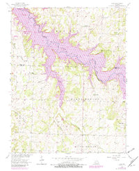
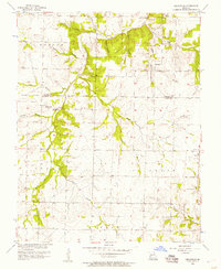
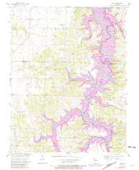
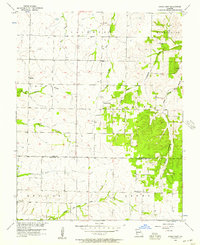
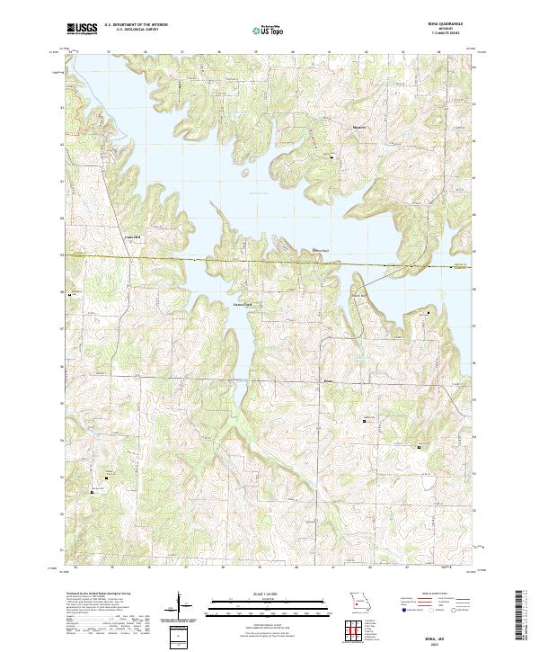
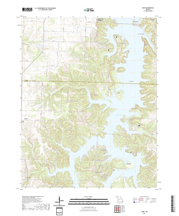
Stockton Lake dominates the landscape of this Dade County region, its sprawling waters reaching into the valleys once carved by local creeks. The shoreline is defined by prominent elevations such as Wasson Bluff, Sorters Bluff, and Ruark Bluff, which look over the flooded timber and inlets. The rural character of the area is preserved in the small communities of Arcola, Seybert, and Crisp, where local infrastructure like the Crisp Bridge and Sycamore Bridge provide essential crossings.
Find a feature on this map
80 named features on this map. Tap any name to fly to it.
Don’t see what you’re looking for? This feature index may not catch every label — zoom into the map to look around manually.
Map Details
Editions of this 2021 Crisp Map
This is the sole edition of this map. No revisions or reprints were ever made.
Historical Maps of Umber View Heights Through Time
10 maps found