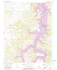
1956 Map of Crisp
USGS Topo · Published 1982About this map
The Sac River valley defines this part of the Ozark Plateau, where the landscape was fundamentally altered by the creation of Stockton Lake. This map represents the transition of the region from a purely agricultural river basin into a recreation-focused geography, showing the expansive purple-tinted reach of the reservoir as it stood in the early 1980s. Local history and genealogy are anchored in small upland settlements and rural institutions like Chapel Hill, Glen Town, and Osborn Ch. The inundation of lower-lying areas shifted the local focus toward Stockton State Park and designated recreation zones such as the Hawker Point Public Use Area. Smaller watercourses like Sons Creek and Mutton Creek feed into the main reservoir, cutting through terrain marked by landmarks such as Bald Hill and Sorters Bluff.
Find a feature on this map
36 named features on this map. Tap any name to fly to it.
Don’t see what you’re looking for? This feature index may not catch every label — zoom into the map to look around manually.
Map Details
Editions of this 1956 Crisp Map
3 editions found
Other maps of this area

1886 · Stockton
USGS Topo · 1:125,000

1886 · Greenfield
USGS Topo · 1:125,000

1888 · Greenfield
USGS Topo · 1:125,000

1954 · Springfield
USGS Topo · 1:250,000

1955 · Dadeville
USGS Topo · 1:24,000
1956 · Stockton
USGS Topo · 1:24,000
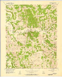
1956 · Bearcreek
USGS Topo · 1:24,000

1956 · Greenfield
USGS Topo · 1:24,000
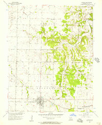
1956 · Lockwood
USGS Topo · 1:24,000
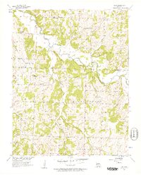
1956 · Bona
USGS Topo · 1:24,000