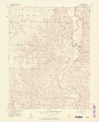
1956 Map of Crisp
USGS Topo · Published 1957About this map
The Sac River winds through the eastern portion of this landscape on the border of Cedar and Dade counties, shaping a terrain defined by high bluffs and fertile creek bottoms. Small crossroads communities like Crisp and Arcola serve as local anchors, while vanished names such as Glen Town, Gredset, and Neola appear along the tributaries. The map reveals a deeply rooted rural society, evidenced by the numerous country churches and family-named cemeteries that dot the landscape, including Bishop Grove Ch, Cave Spring Ch, and the Duncan Cem. Natural features such as Sorters Bluff and Umber Bluff overlook the river, while an intricate network of local branches like Sons Creek and Mutton Creek drain the interior. This mid-century survey illustrates the rural transition in Missouri before modern development altered these traditional river-and-creek neighborhoods.
Find a feature on this map
41 named features on this map. Tap any name to fly to it.
Don’t see what you’re looking for? This feature index may not catch every label — zoom into the map to look around manually.
Map Details
Editions of this 1956 Crisp Map
3 editions found
Other maps of this area

1886 · Stockton
USGS Topo · 1:125,000

1886 · Greenfield
USGS Topo · 1:125,000

1888 · Greenfield
USGS Topo · 1:125,000

1954 · Springfield
USGS Topo · 1:250,000

1955 · Dadeville
USGS Topo · 1:24,000
1956 · Stockton
USGS Topo · 1:24,000
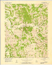
1956 · Bearcreek
USGS Topo · 1:24,000

1956 · Greenfield
USGS Topo · 1:24,000
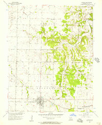
1956 · Lockwood
USGS Topo · 1:24,000
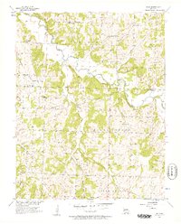
1956 · Bona
USGS Topo · 1:24,000