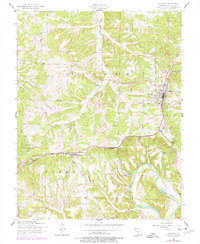
1954 Map of Crocker
USGS Topo · Published 1977About this map
The St Louis-San Francisco railroad serves as the primary industrial corridor for this portion of Pulaski County, connecting the established town of Crocker with the smaller settlement at Swedeborg. The landscape is defined by the winding course of Tavern Creek and its many tributaries, such as Gunlock Creek and Crews Branch, which carve through the Ozark terrain toward the Gasconade River in the southeast.
Find a feature on this map
30 named features on this map. Tap any name to fly to it.
Don’t see what you’re looking for? This feature index may not catch every label — zoom into the map to look around manually.
Map Details
Editions of this 1954 Crocker Map
2 editions found
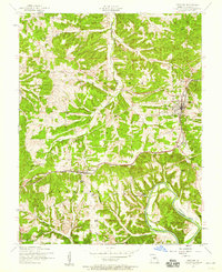
Other maps of this area

1888 · Tuscumbia
USGS Topo · 1:125,000

1894 · Tuscumbia
USGS Topo · 1:125,000

1933 · Iberia
USGS Topo · 1:62,500

1936 · Waynesville
USGS Topo · 1:48,000

1937 · Iberia
USGS Topo · 1:62,500

1942 · Waynesville
USGS Topo · 1:62,500

1943 · Richland
USGS Topo · 1:62,500

1944 · Waynesville
USGS Topo · 1:62,500

1947 · Jefferson City
USGS Topo · 1:250,000

1948 · Tavern
USGS Topo · 1:62,500