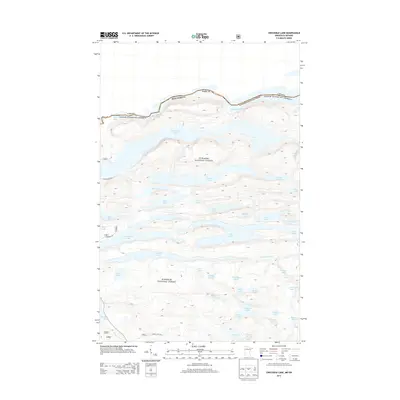
2013 Map of Crocodile Lake
USGS Topo · Published 2013About this map
Superior National Forest defines this international border landscape, where the jagged boundary between Cook County and Ontario follows a chain of elongated water bodies. Mountain Lake, Watap Lake, and Rove Lake form a natural frontier, with the terrain falling sharply toward the Canadian line. Further south, the interior is characterized by a dense network of lakes including Crocodile Lake, Clearwater Lake, and Caribou Lake, connected by minor roads like S Clearwater Rd and E Bearskin Rd. The drainage pattern is anchored by the Crocodile River, which winds through the southern portion of the quadrangle. This 2013 survey provides a clear look at the contemporary road access points and topographical elevations in a region where the water-to-land ratio is exceptionally high, illustrating the complex geography that has historically dictated travel and transport along the border.
Find a feature on this map
45 named features on this map. Tap any name to fly to it.
Don’t see what you’re looking for? This feature index may not catch every label — zoom into the map to look around manually.
Map Details
Editions of this 2013 Crocodile Lake Map
This is the sole edition of this map. No revisions or reprints were ever made.
Other maps of this area

1954 · Two Harbors
USGS Topo · 1:250,000

1957 · Two Harbors
USGS Topo · 1:250,000

1957 · Quetico
USGS Topo · 1:250,000

1958 · Two Harbors
USGS Topo · 1:250,000

1959 · Northern Light Lake
USGS Topo · 1:24,000

1959 · Pine Mountain
USGS Topo · 1:24,000

1959 · Lima Mountain
USGS Topo · 1:24,000

1959 · Hungry Jack Lake
USGS Topo · 1:24,000

1959 · Pine Lake West
USGS Topo · 1:24,000

1959 · Crocodile Lake
USGS Topo · 1:24,000