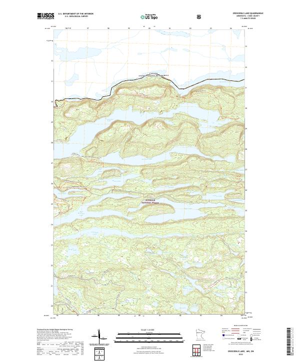
2022 Map of Crocodile Lake
USGS Topo · Published 2022About this map
Superior National Forest encompasses this glaciated landscape along the international border, where a dense network of lakes and drainage systems defines the Cook County interior. The Canada-United States border runs through Mountain Lake and Rove Lake in the north, accessible by the historic Border Route Trail. Further south, the Crocodile River winds through the center of the sheet, feeding into namesake Crocodile Lake and surrounded by smaller, uniquely named bodies of water like Kraut Lake, Melon Lake, and Turnip Lake. Modern recreation and older transit corridors intersect here, from the well-known Gunflint Trail and the Gunflint Trails Snowmobile Trail to specialized routes like the Cgt-Old Logging Camp Trail. The terrain is characterized by steep ridges and narrow valleys, visible in the proximity of East Bearskin Lake and Flour Lake.
Find a feature on this map
49 named features on this map. Tap any name to fly to it.
Don’t see what you’re looking for? This feature index may not catch every label — zoom into the map to look around manually.
Map Details
Editions of this 2022 Crocodile Lake Map
This is the sole edition of this map. No revisions or reprints were ever made.
Other maps of this area

1954 · Two Harbors
USGS Topo · 1:250,000

1957 · Two Harbors
USGS Topo · 1:250,000

1957 · Quetico
USGS Topo · 1:250,000

1958 · Two Harbors
USGS Topo · 1:250,000

1959 · Northern Light Lake
USGS Topo · 1:24,000

1959 · Pine Mountain
USGS Topo · 1:24,000

1959 · Lima Mountain
USGS Topo · 1:24,000

1959 · Hungry Jack Lake
USGS Topo · 1:24,000

1959 · Pine Lake West
USGS Topo · 1:24,000

1959 · Crocodile Lake
USGS Topo · 1:24,000