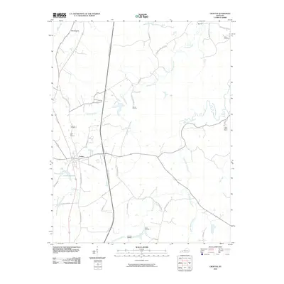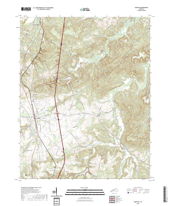
2022 Map of Crofton
USGS Topo · Published 2022About this map
Crofton serves as a central hub in this corner of Christian County, where the landscape is defined by the winding course of the West Fork Pond River and its numerous tributaries like McFarland Cr and Dripping Spring Br. The settlement pattern follows the established corridors of S Madisonville Rd and Crofton Fruithill Rd, connecting smaller communities like Empire and Mannington. The area is particularly dense with small family and community burial grounds, including Flatrock Cem, Ridgetop Cem, and Macedonia Church Cem, reflecting generations of local residency.
Find a feature on this map
63 named features on this map. Tap any name to fly to it.
Don’t see what you’re looking for? This feature index may not catch every label — zoom into the map to look around manually.
Map Details
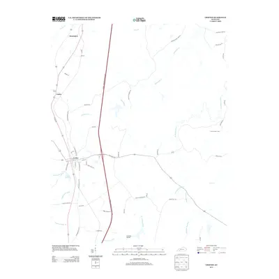
Editions of this 2022 Crofton Map
This is the sole edition of this map. No revisions or reprints were ever made.
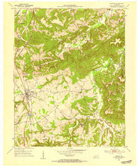
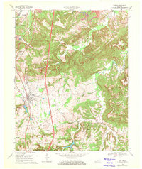
Historical Maps of Crofton Through Time
7 maps found