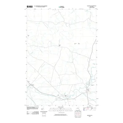
2010 Map of Croghan
USGS Topo · Published 2010About this map
Beaver River and Black River converge toward the southwestern corner of this Adirondack foothills region, shaping the development of local mill towns. The settlement of Croghan serves as a primary hub, while downstream the community of Beaver Falls sits perched along the river's edge. This 2010 survey details the geographic relationship between these river-fronting centers and smaller outlying hamlets like Naumburg and Forest City.
Find a feature on this map
22 named features on this map. Tap any name to fly to it.
Don’t see what you’re looking for? This feature index may not catch every label — zoom into the map to look around manually.
Map Details
Editions of this 2010 Croghan Map
This is the sole edition of this map. No revisions or reprints were ever made.
Other maps of this area

1902 · Carthage
USGS Topo · 1:62,500

1904 · Carthage
USGS Topo · 1:62,500

1911 · Antwerp
USGS Topo · 1:62,500

1911 · Lowville
USGS Topo · 1:62,500

1913 · Lowville
USGS Topo · 1:62,500

1913 · Lake Bonaparte
USGS Topo · 1:62,500

1916 · Lake Bonaparte
USGS Topo · 1:62,500

1943 · West Lowville
USGS Topo · 1:31,680

1943 · Carthage
USGS Topo · 1:31,680

1948 · Ogdensburg
USGS Topo · 1:250,000