
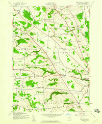
1943 Map of West Lowville
USGS Topo · Published 1943About this map
Harrisburg and the surrounding Lewis County landscape are defined by a high-density network of rural schoolhouses and family-named roads during the early 1940s. The region is divided between the townships of Harrisburg Lowville and Martinsburg, featuring numerous numbered institutions like School No 11 and School No 16 that served isolated farmstead communities. This period of land use is characterized by a series of diagonal thoroughfares, including Number Three Road and Patten Road, which cut across the rolling terrain of Denlow Ridge.
Find a feature on this map
42 named features on this map. Tap any name to fly to it.
Don’t see what you’re looking for? This feature index may not catch every label — zoom into the map to look around manually.
Map Details
Editions of this 1943 West Lowville Map
3 editions found
Other maps of this area

1902 · Carthage
USGS Topo · 1:62,500

1904 · Carthage
USGS Topo · 1:62,500

1905 · Port Leyden
USGS Topo · 1:62,500

1906 · Highmarket
USGS Topo · 1:62,500

1907 · Port Leyden
USGS Topo · 1:62,500

1911 · Lowville
USGS Topo · 1:62,500

1913 · Lowville
USGS Topo · 1:62,500

1940 · Port Leyden
USGS Topo · 1:62,500

1942 · Copenhagen
USGS Topo · 1:24,000

1943 · Copenhagen
USGS Topo · 1:31,680