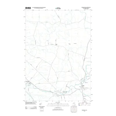
2013 Map of Croghan
USGS Topo · Published 2013About this map
Beaver River winds through the heart of Lewis County, anchoring the primary settlements of Beaver Falls and Croghan. This 2013 survey illustrates the local landscape where the river and its tributaries, such as Widmeyer Cr and Black Cr, define the rural geography. The map captures established residential clusters like Hall Dale Acres and the hamlet of Naumburg at the western edge near the Black River. Local history and genealogy are well-represented by several burial grounds, including Saint Stephens Cem, Basselin Cem, and Salem Cem. The surrounding terrain features notable elevations like Charlies Hill and the distinctive Pine Island. North of the river, a network of rural roads such as Old State Rd and Youngs Mill Rd connect the area to the smaller settlement of Forest City, highlighting the persistent agricultural and forested character of the region.
Find a feature on this map
60 named features on this map. Tap any name to fly to it.
Don’t see what you’re looking for? This feature index may not catch every label — zoom into the map to look around manually.
Map Details
Editions of this 2013 Croghan Map
This is the sole edition of this map. No revisions or reprints were ever made.
Other maps of this area

1902 · Carthage
USGS Topo · 1:62,500

1904 · Carthage
USGS Topo · 1:62,500

1911 · Antwerp
USGS Topo · 1:62,500

1911 · Lowville
USGS Topo · 1:62,500

1913 · Lowville
USGS Topo · 1:62,500

1913 · Lake Bonaparte
USGS Topo · 1:62,500

1916 · Lake Bonaparte
USGS Topo · 1:62,500

1943 · West Lowville
USGS Topo · 1:31,680

1943 · Carthage
USGS Topo · 1:31,680

1948 · Ogdensburg
USGS Topo · 1:250,000