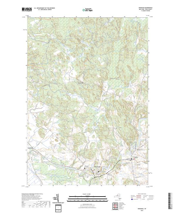
2023 Map of Croghan
USGS Topo · Published 2023About this map
The Beaver River and Black River converge in this corner of the North Country, defining a landscape of wetlands and riverside settlements. The village of Croghan serves as a local hub, where historic burial grounds like Basselin Cem and Saint Stephens Cem sit near the riverbanks. Further downstream, Beaver Falls is marked by its own significant genealogy sites, including the Beaver Falls New Cem and Beaver Falls Old Cem.
Find a feature on this map
56 named features on this map. Tap any name to fly to it.
Don’t see what you’re looking for? This feature index may not catch every label — zoom into the map to look around manually.
Map Details
Editions of this 2023 Croghan Map
This is the sole edition of this map. No revisions or reprints were ever made.
Other maps of this area

1902 · Carthage
USGS Topo · 1:62,500

1904 · Carthage
USGS Topo · 1:62,500

1911 · Antwerp
USGS Topo · 1:62,500

1911 · Lowville
USGS Topo · 1:62,500

1913 · Lowville
USGS Topo · 1:62,500

1913 · Lake Bonaparte
USGS Topo · 1:62,500

1916 · Lake Bonaparte
USGS Topo · 1:62,500

1943 · West Lowville
USGS Topo · 1:31,680

1943 · Carthage
USGS Topo · 1:31,680

1948 · Ogdensburg
USGS Topo · 1:250,000