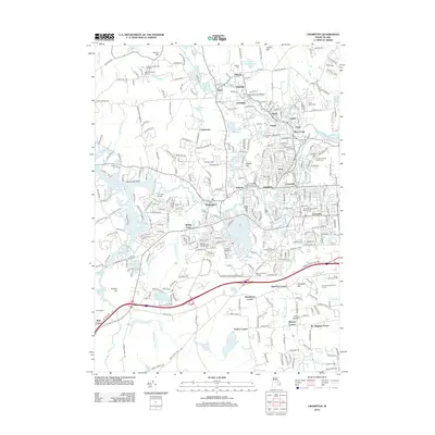
2012 Map of Crompton
USGS Topo · Published 2012About this map
The General Nathaniel Green Homestead stands as a significant landmark in this early 21st-century landscape, positioned near the industrial and residential clusters of Anthony and Quidnick. This survey details a dense network of textile-era villages along the Pawtuxet River, including Phenix, Lippitt, Clyde, and River Point. The proximity of sites like the Interlaken Mill Bridge and Spencer Mill reflects the long-standing water-powered manufacturing heritage of the region.
Find a feature on this map
322 named features on this map. Tap any name to fly to it.
Don’t see what you’re looking for? This feature index may not catch every label — zoom into the map to look around manually.
Map Details
Editions of this 2012 Crompton Map
This is the sole edition of this map. No revisions or reprints were ever made.
Other maps of this area

1887 · Providence
USGS Topo · 1:62,500

1889 · Providence
USGS Topo · 1:62,500

1889 · Burrillville
USGS Topo · 1:62,500

1890 · Narragansett Bay
USGS Topo · 1:62,500

1890 · Kent
USGS Topo · 1:62,500

1892 · Narragansett Bay
USGS Topo · 1:62,500

1894 · Burrillville
USGS Topo · 1:62,500

1894 · Kent
USGS Topo · 1:62,500

1894 · Providence
USGS Topo · 1:62,500

1915 · Burrillville
USGS Topo · 1:62,500