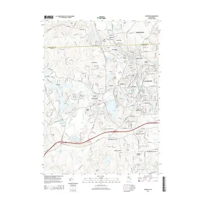
2015 Map of Crompton
USGS Topo · Published 2015About this map
The Pawtuxet River and its branches serve as the industrial backbone of this Rhode Island landscape, where a dense sequence of mill villages follows the water's edge. From Hope and Fiskeville in the northwest down to Crompton and West Warwick, the map illustrates a tightly woven fabric of early New England manufacturing centers. The convergence of the North Branch Pawtuxet River and South Branch Pawtuxet River at River Point highlights the geographic importance of water power to the local economy.
Find a feature on this map
88 named features on this map. Tap any name to fly to it.
Don’t see what you’re looking for? This feature index may not catch every label — zoom into the map to look around manually.
Map Details
Editions of this 2015 Crompton Map
This is the sole edition of this map. No revisions or reprints were ever made.
Other maps of this area

1887 · Providence
USGS Topo · 1:62,500

1889 · Providence
USGS Topo · 1:62,500

1889 · Burrillville
USGS Topo · 1:62,500

1890 · Narragansett Bay
USGS Topo · 1:62,500

1890 · Kent
USGS Topo · 1:62,500

1892 · Narragansett Bay
USGS Topo · 1:62,500

1894 · Burrillville
USGS Topo · 1:62,500

1894 · Kent
USGS Topo · 1:62,500

1894 · Providence
USGS Topo · 1:62,500

1915 · Burrillville
USGS Topo · 1:62,500