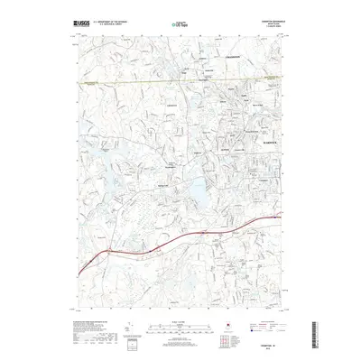
2018 Map of Crompton
USGS Topo · Published 2018About this map
The North Branch Pawtuxet River and its southern counterpart dictate the industrial and residential settlement of central Rhode Island, where historical mill villages like Fiskeville, Arkwright, Harris, and Phenix cluster along the falling water. This landscape is a patchwork of tightly packed 19th-century village centers and sprawling late-20th-century suburban developments. Beyond the dense corridors of West Warwick and Crompton, the terrain rises toward Hopkins Hill and Hungry Hill, transitioning into the wooded wetlands of Bear Swamp and the Mishnock Swamp.
Find a feature on this map
294 named features on this map. Tap any name to fly to it.
Don’t see what you’re looking for? This feature index may not catch every label — zoom into the map to look around manually.
Map Details
Editions of this 2018 Crompton Map
This is the sole edition of this map. No revisions or reprints were ever made.
Other maps of this area

1887 · Providence
USGS Topo · 1:62,500

1889 · Providence
USGS Topo · 1:62,500

1889 · Burrillville
USGS Topo · 1:62,500

1890 · Narragansett Bay
USGS Topo · 1:62,500

1890 · Kent
USGS Topo · 1:62,500

1892 · Narragansett Bay
USGS Topo · 1:62,500

1894 · Burrillville
USGS Topo · 1:62,500

1894 · Kent
USGS Topo · 1:62,500

1894 · Providence
USGS Topo · 1:62,500

1915 · Burrillville
USGS Topo · 1:62,500