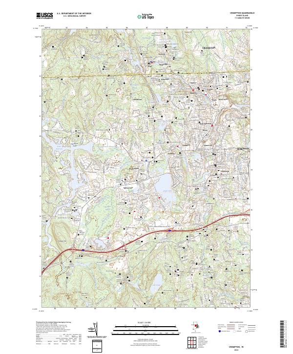
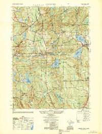
2024 Map of Crompton
USGS Topo · Published 2024About this map
The North Branch Pawtuxet River and its southern counterpart converge at River Point, framing a landscape defined by 19th-century industrial villages. Dense settlement clusters like Phenix, Lippitt, Harris, and Arkwright trace the river valley, illustrating the historical dependence on water power for the region's textile mills. Beyond these mill towns, the landscape transitions into a remarkable density of family burial plots and small cemeteries, such as the Colonel David Relph Lot Cem and the Greene Homestead Burial Grounds, which offer significant value for genealogists tracking local lineages. To the west, the terrain opens into the expansive Mishnock Swamp and the waters of the Flat River Reservoir, while modern layers like Nike Site RD hint at the area's mid-century strategic history. This map provides a detailed view of the evolving balance between manufacturing centers and the preserved family histories of West Warwick and surrounding Kent County.
Find a feature on this map
267 named features on this map. Tap any name to fly to it.
Don’t see what you’re looking for? This feature index may not catch every label — zoom into the map to look around manually.
Map Details
Editions of this 2024 Crompton Map
This is the sole edition of this map. No revisions or reprints were ever made.
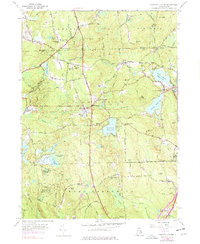
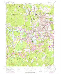
Historical Maps of Moosehorn Corner Through Time
15 maps found

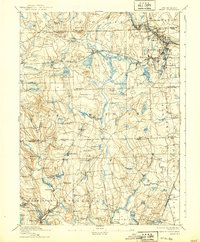
1890 Kent
Kent County, RI
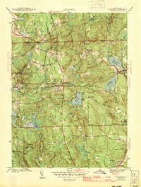
1894 Kent
Kent County, RI

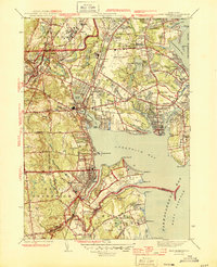
1942 East Greenwich
Kent County, RI
1943 Coventry
Kent County, RI

1943 Crompton
Kent County, RI
1944 East Greenwich
Kent County, RI
1950 Coventry
Kent County, RI
1955 Coventry Center
Kent County, RI
1955 Crompton
Kent County, RI
1957 East Greenwich
Kent County, RI
1995 Crompton
Kent County, RI
1996 East Greenwich
Kent County, RI
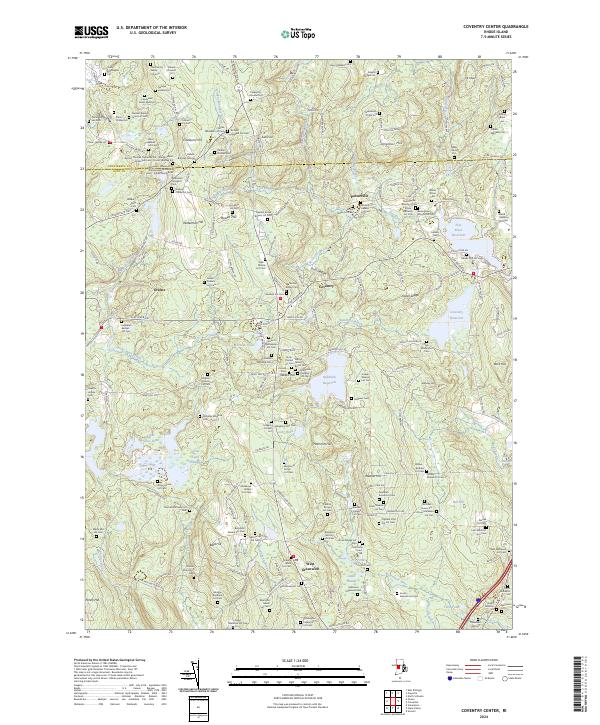
2024 Coventry Center
Kent County, RI
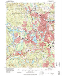
2024 Crompton
Kent County, RI
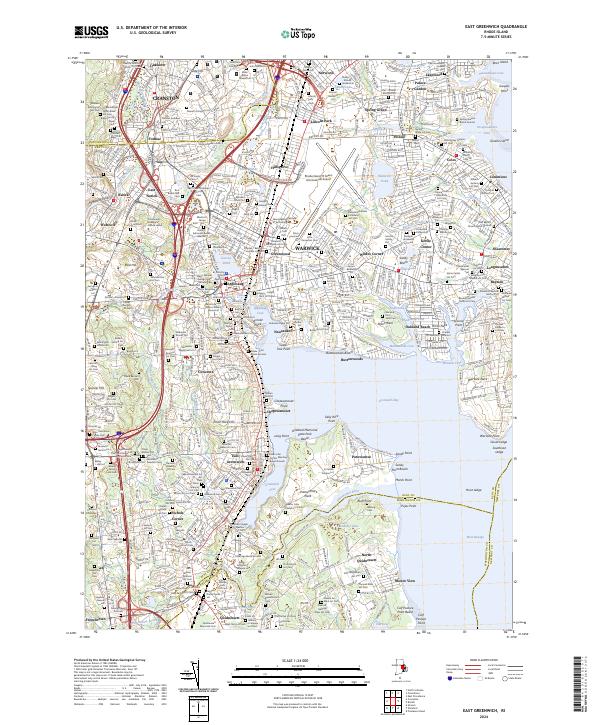
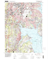
2024 East Greenwich
Kent County, RI