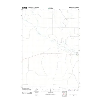
2011 Map of Crookston West
USGS Topo · Published 2011About this map
Minnechaduza Creek winds across this section of northern Nebraska, carving a path through the sandhills landscape of Cherry County near the South Dakota border. The small settlement of Crookston serves as the primary focal point of the area, concentrated around the Crookston Post Office and the regional highway corridor. This 2011 survey captures the sparse but organized grid of local travel ways, including German Settlement Rd and Rocky Rd, which provide access to the outlying ranching and agricultural lands. Drainage for the region is defined by the convergence of several waterways, with Bull Creek and Dry Creek feeding into the larger Minnechaduza valley. The layout reflects a landscape defined by water access and early 20th-century settlement patterns that persist into the modern era.
Find a feature on this map
7 named features on this map. Tap any name to fly to it.
Don’t see what you’re looking for? This feature index may not catch every label — zoom into the map to look around manually.
Map Details
Editions of this 2011 Crookston West Map
This is the sole edition of this map. No revisions or reprints were ever made.
Other maps of this area

1950 · Kilgore
USGS Topo · 1:62,500

1950 · Valentine
USGS Topo · 1:62,500

1955 · Martin
USGS Topo · 1:250,000

1957 · Valentine
USGS Topo · 1:250,000

1958 · Martin
USGS Topo · 1:250,000

1959 · Valentine
USGS Topo · 1:250,000

1969 · St. Francis SW
USGS Topo · 1:24,000

1969 · Olsonville SW
USGS Topo · 1:24,000

1969 · St. Francis SE
USGS Topo · 1:24,000

1982 · Mission
USGS Topo · 1:100,000