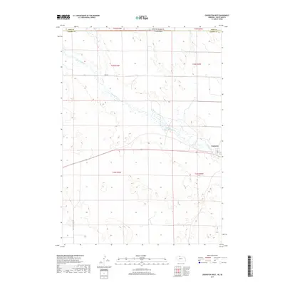
2017 Map of Crookston West
USGS Topo · Published 2017About this map
Crookston serves as a small anchor in the northeastern corner of this western Nebraska landscape, positioned just south of the border with South Dakota. The geography is defined by the winding course of Minnechaduza Cr, which snakes through the center of the sheet towards the southeast. Along the western edge of Cherry Co, the presence of German Settlement Rd points to the specific lineage of the local ranching and farming community that settled these plains. The terrain is a network of draws and creeks, including Bull Cr and Dry Cr, which feed the larger drainage system of the Niobrara river valley nearby. This 2017 survey captures the modern road infrastructure, such as Rocky Rd, laid over the original township and range system that continues to organize this part of the Great Plains.
Find a feature on this map
14 named features on this map. Tap any name to fly to it.
Don’t see what you’re looking for? This feature index may not catch every label — zoom into the map to look around manually.
Map Details
Editions of this 2017 Crookston West Map
This is the sole edition of this map. No revisions or reprints were ever made.
Other maps of this area

1950 · Kilgore
USGS Topo · 1:62,500

1950 · Valentine
USGS Topo · 1:62,500

1955 · Martin
USGS Topo · 1:250,000

1957 · Valentine
USGS Topo · 1:250,000

1958 · Martin
USGS Topo · 1:250,000

1959 · Valentine
USGS Topo · 1:250,000

1969 · St. Francis SW
USGS Topo · 1:24,000

1969 · Olsonville SW
USGS Topo · 1:24,000

1969 · St. Francis SE
USGS Topo · 1:24,000

1982 · Mission
USGS Topo · 1:100,000