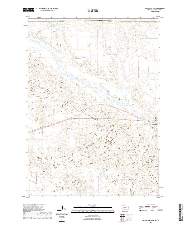
2021 Map of Crookston West
USGS Topo · Published 2021About this map
Crookston serves as the primary settlement on this landscape, positioned along the southeastern edge where the plains meet the watercourses of Cherry County. The map details a transition point at the border of South Dakota and Nebraska, where the undulating topography is defined by the winding paths of Minnechaduza Creek and Bull Creek. The presence of Cowboy Trail crossing the terrain suggests a legacy of transportation and trade through this northern frontier. Local movement is further mapped along routes like German Settlement Road and ABC Ranch Drive, providing clues to the agricultural and ranching history of the region. The drainage patterns of Dry Creek and its tributaries reveal the essential relationship between the sparse water sources and the organized sections of the Public Land Survey System, including t35n r30w and t34n r29w.
Find a feature on this map
14 named features on this map. Tap any name to fly to it.
Don’t see what you’re looking for? This feature index may not catch every label — zoom into the map to look around manually.
Map Details
Editions of this 2021 Crookston West Map
This is the sole edition of this map. No revisions or reprints were ever made.
Other maps of this area

1950 · Kilgore
USGS Topo · 1:62,500

1950 · Valentine
USGS Topo · 1:62,500

1955 · Martin
USGS Topo · 1:250,000

1957 · Valentine
USGS Topo · 1:250,000

1958 · Martin
USGS Topo · 1:250,000

1959 · Valentine
USGS Topo · 1:250,000

1969 · St. Francis SW
USGS Topo · 1:24,000

1969 · Olsonville SW
USGS Topo · 1:24,000

1969 · St. Francis SE
USGS Topo · 1:24,000

1982 · Mission
USGS Topo · 1:100,000