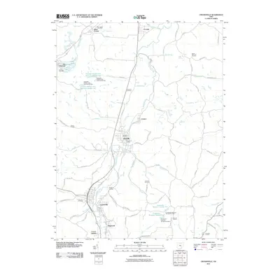
2010 Map of Crooksville
USGS Topo · Published 2010About this map
Roseville and Crooksville serve as the primary anchors in this early 21st-century landscape along the Moxahala Creek corridor. The geography is defined by a dense network of cemeteries and small settlements, such as East Fultonham, Ironspot, and Brigglesville, which suggest a long-established rural community fabric. The presence of several reservoirs, including Avondale Wildlife Area Reservoir Number One and Crooksville Reservoir Number Two, highlights the managed water systems crucial to the region. Researchers can find specific local landmarks like the White Cottage Post Office and the Roseville Post Office, while the terrain is marked by distinctive features such as Possum Hollow and the drainage of Jonathan Creek in the north. The map documents the intricate road network of the era, connecting family-named roads like Crock Rd and Llewellyn Rd to the established town centers.
Find a feature on this map
99 named features on this map. Tap any name to fly to it.
Don’t see what you’re looking for? This feature index may not catch every label — zoom into the map to look around manually.
Map Details
Editions of this 2010 Crooksville Map
This is the sole edition of this map. No revisions or reprints were ever made.
Other maps of this area

1910 · Philo
USGS Topo · 1:62,500

1910 · Zanesville
USGS Topo · 1:62,500

1910 · Mc Connelsville
USGS Topo · 1:62,500

1911 · New Lexington
USGS Topo · 1:62,500

1947 · Columbus
USGS Topo · 1:250,000

1949 · Clarksburg
USGS Topo · 1:250,000

1956 · Clarksburg
USGS Topo · 1:250,000

1961 · Columbus
USGS Topo · 1:250,000

1961 · Clarksburg
USGS Topo · 1:250,000

1961 · New Lexington
USGS Topo · 1:24,000