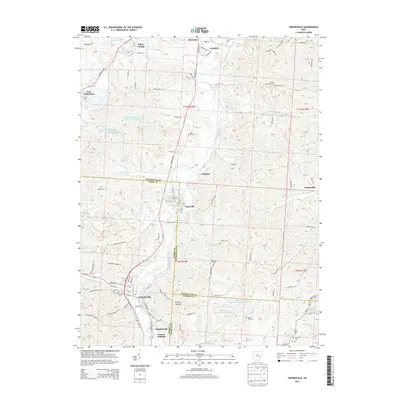
2013 Map of Crooksville
USGS Topo · Published 2013About this map
Crooksville and Roseville anchor this detailed study of the tri-county borderlands where Perry, Muskingum, and Morgan counties converge. The landscape is defined by the winding course of Moxahala Creek, which connects a string of settlements including Ironspot and Elizabeth. The presence of several cemeteries, such as Bethel Methodist Cem and Rose Hill Cem, offers valuable data for genealogists tracing family roots through these established Ohio communities.
Find a feature on this map
114 named features on this map. Tap any name to fly to it.
Don’t see what you’re looking for? This feature index may not catch every label — zoom into the map to look around manually.
Map Details
Editions of this 2013 Crooksville Map
This is the sole edition of this map. No revisions or reprints were ever made.
Other maps of this area

1910 · Philo
USGS Topo · 1:62,500

1910 · Zanesville
USGS Topo · 1:62,500

1910 · Mc Connelsville
USGS Topo · 1:62,500

1911 · New Lexington
USGS Topo · 1:62,500

1947 · Columbus
USGS Topo · 1:250,000

1949 · Clarksburg
USGS Topo · 1:250,000

1956 · Clarksburg
USGS Topo · 1:250,000

1961 · Columbus
USGS Topo · 1:250,000

1961 · Clarksburg
USGS Topo · 1:250,000

1961 · New Lexington
USGS Topo · 1:24,000