2023 Map of Crooksville
USGS Topo · Published 2023About this map
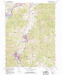
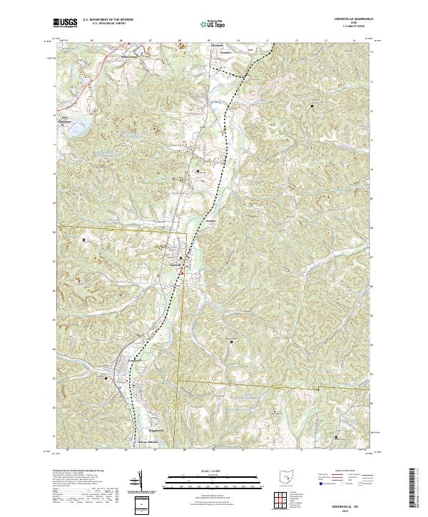
Crooksville and Roseville anchor this survey of the northern Ohio hills, where the landscape is defined by the winding course of Moxahala Creek. The region reflects a deep history of industry and settlement along the waterways, evidenced by the clustered communities of Ironspot, Brigglesville, and the Conway Addition. Resource extraction is written into the terrain at Claypit Creek, while the broader drainage system includes Jonathan Creek, Morrison Run, and Buckeye Fork. For genealogists, the map is particularly rich in burial sites, documenting local heritage at the Bethel Methodist Cem, Roseville Cem, and the high-elevation Rose Hill Cem. Large-scale water management is also prominent, with the Avondale Wildlife Area Reservoir Number One and Crooksville Reservoir Number Two providing significant landmarks in the local topography.
Find a feature on this map
128 named features on this map. Tap any name to fly to it.
Don’t see what you’re looking for? This feature index may not catch every label — zoom into the map to look around manually.
Map Details
Editions of this 2023 Crooksville Map
This is the sole edition of this map. No revisions or reprints were ever made.