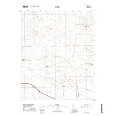
2018 Map of Crookton
USGS Topo · Published 2018About this map
Crookton occupies a central position in this high-desert landscape, where the historical imprint of Western transport infrastructure remains visible. The presence of the Old Santa Fe RR Bed cutting across the terrain serves as a reminder of the corridor's rail legacy, running parallel to modern routes like Gleed Station Rd. This area, situated on the border of Coconino and Yavapai counties, is defined by significant drainage features including Pineveta Wash and the deeply etched Mcintyre Canyon. Ranching and water management are evident through named water features such as Garrett Tank and Gleed Tank, which are essential nodes in this arid environment. A network of rural roads, including Fort Bates Rd and Robinson Ranch Rd, connects the scattered landmarks and follows the natural contours of the Tom Lockett Draw.
Find a feature on this map
21 named features on this map. Tap any name to fly to it.
Don’t see what you’re looking for? This feature index may not catch every label — zoom into the map to look around manually.
Map Details
Editions of this 2018 Crookton Map
This is the sole edition of this map. No revisions or reprints were ever made.
Other maps of this area

1886 · Chino
USGS Topo · 1:250,000

1891 · Chino
USGS Topo · 1:250,000

1947 · Picacho Butte
USGS Topo · 1:62,500

1947 · Turkey Canyon
USGS Topo · 1:62,500

1948 · Williams
USGS Topo · 1:250,000

1948 · Picacho Butte
USGS Topo · 1:63,360

1950 · Turkey Canyon
USGS Topo · 1:62,500

1950 · Picacho Butte
USGS Topo · 1:62,500

1954 · Williams
USGS Topo · 1:250,000

1956 · Williams
USGS Topo · 1:250,000