
1919 Map of Crosby
USGS Topo · Published 1919About this map
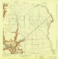
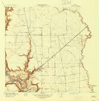
Crosby serves as the focal point of this 1916 survey, situated where the Southern Pacific System rail lines intersect with local transport routes. The landscape transitions from the well-defined channels of the San Jacinto River and Jackson Bayou in the southwest to the wetlands and prairie towards Cedar Bayou in the east. This era's rural infrastructure is remarkably detailed, showing the placement of multiple educational centers like Gum Gully School, Ramsey School, Adlong School, and Krenek School.
Find a feature on this map
28 named features on this map. Tap any name to fly to it.
Don’t see what you’re looking for? This feature index may not catch every label — zoom into the map to look around manually.
Map Details
Editions of this 1919 Crosby Map
3 editions found
Other maps of this area

1916 · Burnett Bay
USGS Topo · 1:24,000

1916 · Crosby
USGS Topo · 1:24,000

1916 · Fauna
USGS Topo · 1:24,000

1916 · Harmaston
USGS Topo · 1:24,000

1916 · Moonshine Hill
USGS Topo · 1:24,000

1916 · Cedar Bayou
USGS Topo · 1:24,000

1916 · Huffman
USGS Topo · 1:24,000

1919 · Cedar Bayou
USGS Topo · 1:31,680
1920 · Fauna
USGS Topo · 1:31,680

1920 · Harmaston
USGS Topo · 1:31,680