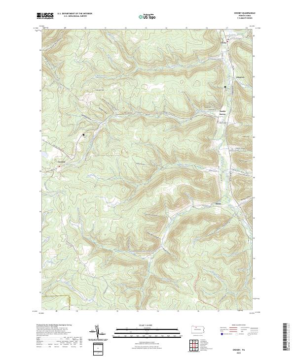
2023 Map of Crosby
USGS Topo · Published 2023About this map
Potato Creek and its many winding tributaries define this portion of McKean County, where high ridges separate narrow hollows and small creek-side settlements. This modern survey illustrates a landscape shaped by historical industrial corridors, particularly near Clermont and Crosby. The northern reaches of the East Branch Clarion River originate in the southwest, while the eastern edge follows the valley floor along Rte 46. Local genealogists will find the locations of Norwich Cem and Clermont Cem preserved alongside family-named landmarks like Bunker Hill and Jay Cox Hill. The network of forestry roads and hollows, such as Frog Camp Hollow and Sugar Bush Hollow, suggests a region long defined by timbering and rural homesteads. Small hamlet locations like Hamlin Station and Betula remain anchored to the river valleys that have historically provided the primary routes of travel through the Pennsylvania high country.
Find a feature on this map
77 named features on this map. Tap any name to fly to it.
Don’t see what you’re looking for? This feature index may not catch every label — zoom into the map to look around manually.
Map Details
Editions of this 2023 Crosby Map
This is the sole edition of this map. No revisions or reprints were ever made.
Other maps of this area

1924 · Bradford
USGS Topo · 1:62,500

1926 · Bradford
USGS Topo · 1:62,500

1933 · Smethport
USGS Topo · 1:62,500

1935 · Mt. Jewett
USGS Topo · 1:48,000

1937 · Smethport
USGS Topo · 1:62,500

1940 · Mt. Jewett
USGS Topo · 1:62,500

1941 · Bradford
USGS Topo · 1:62,500

1944 · Bradford
USGS Topo · 1:62,500

1948 · Crosby
USGS Topo · 1:62,500

1948 · Wildwood Fire Tower
USGS Topo · 1:24,000
Featured Places
- Norwich Township, PA
- Betula, Norwich Township
- Colegrove, Norwich Township
- Crosby, Norwich Township
- Clermont, Sergeant Township